Area Overview for S35 4JQ
Photos of S35 4JQ
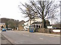
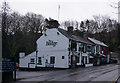
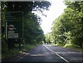
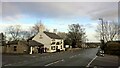
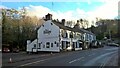
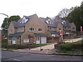
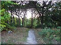
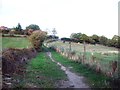
22 photos from this area
Area Information
Key information about the S35 4JQ including its size, population, and administrative classification.
- Area Type
- Postcode
- Area Size
- 29.8 hectares
- Population
- 1423
- Population Density
- 2169 people/km²
House Prices in S35 4JQ
22
Properties
£178,328
Average Sold Price
£59,000
Lowest Price
£330,000
Highest Price
Showing 22 properties
| Address | Type | Beds | Baths | Last Sale Price | Last Sale Date | |
|---|---|---|---|---|---|---|
| 94 Springwood Lane, Sheffield, S35 4JQ | Bungalow | 3 | 1 | £248,000 | Jan 2023 | |
| 104 Springwood Lane, Sheffield, S35 4JQ | Bungalow | - | - | £330,000 | Dec 2021 | |
| 136 Springwood Lane, Sheffield, S35 4JQ | Bungalow | - | - | £230,000 | Jan 2019 | |
| 102 Springwood Lane, Sheffield, S35 4JQ | Bungalow | - | - | £125,000 | Sep 2018 | |
| 122 Springwood Lane, Sheffield, S35 4JQ | house | - | - | £190,000 | Sep 2012 | |
| 124 Springwood Lane, Sheffield, S35 4JQ | house | - | - | £249,950 | Jun 2010 | |
| 138 Springwood Lane, Sheffield, S35 4JQ | Detached | - | - | £73,000 | Jul 1999 | |
| 100 Springwood Lane, Sheffield, S35 4JQ | Detached | - | - | £100,000 | Dec 1996 | |
| 126 Springwood Lane, Sheffield, S35 4JQ | house | - | - | £59,000 | Aug 1995 | |
| 132 Springwood Lane, Sheffield, S35 4JQ | house | 3 | 2 | - | - |
Page 1 of 3
Energy Efficiency in S35 4JQ
Amenities
Schools
| Rank | School | Type | Entry gender | Ages |
|---|
Explore more schools in this area
Go to Schools tabDemographics
Household Size
Two person
most common
Accommodation Type
Houses
most common
Tenure
93
majority
Ethnic Group
White
most common
Religion
N/A
most common
Household Composition
N/A
most common
Age
47
median
Adults (30-64 years)
most common
Household Deprivation
N/A
with no deprivation
NS-SEC
36
in Lower managerial occupations
Explore more demographic insights in this area
Go to Demographics tabPlanning
Planning Constraints
- Flood RiskPremium
- Ramsar Wetland SitesPremium
- Area of Outstanding Natural BeautyPremium
- Protected Nature ReservePremium
- Protected WoodlandPremium