Area Overview for S26 3XG
Photos of S26 3XG
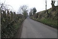
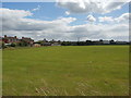
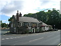
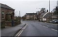
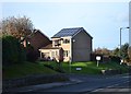
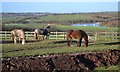
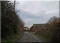
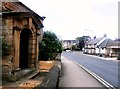
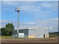
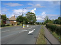
10 photos from this area
Area Information
Key information about the S26 3XG including its size, population, and administrative classification.
- Area Type
- Postcode
- Area Size
- 2.4 hectares
- Population
- 1264
- Population Density
- 231 people/km²
House Prices in S26 3XG
38
Properties
£124,073
Average Sold Price
£55,000
Lowest Price
£236,100
Highest Price
Showing 38 properties
| Address | Type | Beds | Baths | Last Sale Price | Last Sale Date | |
|---|---|---|---|---|---|---|
| Tarraleagh, 26 Hall Road, Aughton, Rotherham, S26 3XG | Detached | 3 | 1 | £236,100 | Dec 2020 | |
| 27 Hall Road, Aughton, Rotherham, S26 3XG | Semi-detached | 3 | 1 | £168,000 | Aug 2016 | |
| 12 Hall Road, Aughton, Rotherham, S26 3XG | Bungalow | 2 | 1 | £142,000 | Jun 2015 | |
| 37 Hall Road, Aughton, Rotherham, S26 3XG | Bungalow | 2 | 1 | £150,000 | Sep 2011 | |
| 14 Hall Road, Aughton, Rotherham, S26 3XG | Bungalow | - | - | £157,000 | Aug 2006 | |
| 29 Hall Road, Aughton, Rotherham, S26 3XG | Semi-detached | 3 | - | £96,125 | Jan 2004 | |
| 39 Hall Road, Aughton, Rotherham, S26 3XG | Detached | - | - | £177,950 | Nov 2003 | |
| Greystones, 41 Hall Road, Aughton, Rotherham, S26 3XG | Detached | - | - | £110,000 | May 2000 | |
| 23 Hall Road, Aughton, Rotherham, S26 3XG | house | - | - | £59,200 | Dec 1999 | |
| 16 Hall Road, Aughton, Rotherham, S26 3XG | Bungalow | - | - | £75,000 | Aug 1999 |
Page 1 of 4
Energy Efficiency in S26 3XG
Amenities
Schools
| Rank | School | Type | Entry gender | Ages |
|---|
Explore more schools in this area
Go to Schools tabDemographics
Household Size
Two person
most common
Accommodation Type
Houses
most common
Tenure
81
majority
Ethnic Group
White
most common
Religion
N/A
most common
Household Composition
N/A
most common
Age
47
median
Adults (30-64 years)
most common
Household Deprivation
N/A
with no deprivation
NS-SEC
33
in Lower managerial occupations
Explore more demographic insights in this area
Go to Demographics tabPlanning
Planning Constraints
- Flood RiskPremium
- Ramsar Wetland SitesPremium
- Area of Outstanding Natural BeautyPremium
- Protected Nature ReservePremium
- Protected WoodlandPremium