Area Overview for S26 1DJ
Photos of S26 1DJ
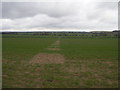
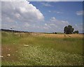
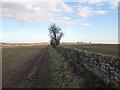
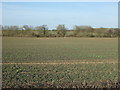
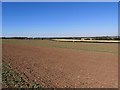
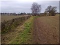
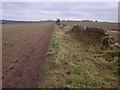
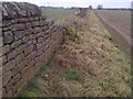
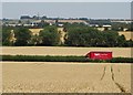
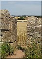
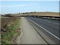
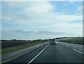
14 photos from this area
Area Information
Key information about the S26 1DJ including its size, population, and administrative classification.
- Area Type
- Postcode
- Area Size
- 1.1 km²
- Population
- 1410
- Population Density
- 185 people/km²
House Prices in S26 1DJ
20
Properties
£220,805
Average Sold Price
£197,000
Lowest Price
£245,416
Highest Price
Showing 20 properties
| Address | Type | Beds | Baths | Last Sale Price | Last Sale Date | |
|---|---|---|---|---|---|---|
| Four Winds, Sheffield Road, Todwick, Rotherham, S26 1DJ | Bungalow | 3 | 3 | £245,416 | Aug 2019 | |
| 1, Poplar Cottages, Sheffield Road, Todwick, Rotherham, S26 1DJ | Semi-detached | - | - | £220,000 | May 2004 | |
| 2, Poplar Cottages, Sheffield Road, Todwick, Rotherham, S26 1DJ | house | 4 | - | £197,000 | Mar 2004 | |
| Side Farm, Sheffield Road, Todwick, Rotherham, S26 1DJ | Retail | 5 | 2 | - | - | |
| The Cow House, Burne Farm, Sheffield Road, Todwick, Rotherham, S26 1DJ | Detached | - | - | - | - | |
| Side Farm Sheds, Greenscene Side Farm, Sheffield Road, Todwick, Rotherham, S26 1DJ | house | - | - | - | - | |
| Hardwick Hounds, Greenscene Side Farm, Sheffield Road, Todwick, Rotherham, S26 1DJ | commercial | - | - | - | - | |
| 1, Commonside Cottage, Sheffield Road, Todwick, Rotherham, S26 1DJ | Terraced | - | - | - | - | |
| Red Lion, Sheffield Road, Todwick, Rotherham, S26 1DJ | Leisure | - | - | - | - | |
| 2, Commonside Cottage, Sheffield Road, Todwick, Rotherham, S26 1DJ | Terraced | - | - | - | - |
Page 1 of 2
Energy Efficiency in S26 1DJ
Amenities
Schools
| Rank | School | Type | Entry gender | Ages |
|---|
Explore more schools in this area
Go to Schools tabDemographics
Household Size
Two person
most common
Accommodation Type
Houses
most common
Tenure
76
majority
Ethnic Group
White
most common
Religion
N/A
most common
Household Composition
N/A
most common
Age
47
median
Adults (30-64 years)
most common
Household Deprivation
N/A
with no deprivation
NS-SEC
34
in Lower managerial occupations
Explore more demographic insights in this area
Go to Demographics tabPlanning
Planning Constraints
- Flood RiskPremium
- Ramsar Wetland SitesPremium
- Area of Outstanding Natural BeautyPremium
- Protected Nature ReservePremium
- Protected WoodlandPremium