Area Overview for S25 4EQ
Photos of S25 4EQ
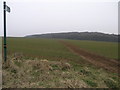
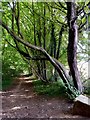
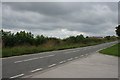
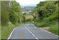
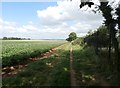
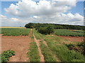
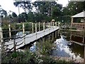
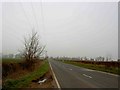
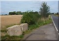
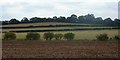
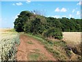
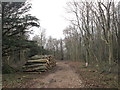
18 photos from this area
Area Information
Key information about the S25 4EQ including its size, population, and administrative classification.
- Area Type
- Postcode
- Area Size
- 94.6 hectares
- Population
- 1195
- Population Density
- 819 people/km²
House Prices in S25 4EQ
96
Properties
£175,820
Average Sold Price
£41,000
Lowest Price
£380,000
Highest Price
Showing 96 properties
| Address | Type | Beds | Baths | Last Sale Price | Last Sale Date | |
|---|---|---|---|---|---|---|
| 23 Woodsetts Road, North Anston, Rotherham, S25 4EQ | Semi-detached | 4 | 3 | £327,500 | Mar 2025 | |
| 98 Woodsetts Road, North Anston, Rotherham, S25 4EQ | Terraced | 3 | 2 | £130,000 | Jan 2025 | |
| 3 Woodsetts Road, North Anston, Rotherham, S25 4EQ | Semi-detached | - | - | £100,000 | Oct 2024 | |
| 62 Woodsetts Road, North Anston, Rotherham, S25 4EQ | Bungalow | 4 | 3 | £380,000 | Oct 2024 | |
| 33 Woodsetts Road, North Anston, Rotherham, S25 4EQ | Semi-detached | 4 | 1 | £235,000 | Feb 2024 | |
| 41 Woodsetts Road, North Anston, Rotherham, S25 4EQ | house | - | - | £180,000 | Feb 2022 | |
| 58 Woodsetts Road, North Anston, Rotherham, S25 4EQ | house | - | - | £125,000 | Aug 2021 | |
| 27 Woodsetts Road, North Anston, Rotherham, S25 4EQ | house | - | - | £240,000 | Dec 2020 | |
| 1A Woodsetts Road, North Anston, Rotherham, S25 4EQ | Bungalow | - | - | £260,000 | Dec 2020 | |
| 31 Woodsetts Road, North Anston, Rotherham, S25 4EQ | Detached | 4 | - | £327,000 | Nov 2020 |
Page 1 of 10
Energy Efficiency in S25 4EQ
Amenities
Schools
| Rank | School | Type | Entry gender | Ages |
|---|
Explore more schools in this area
Go to Schools tabDemographics
Household Size
Two person
most common
Accommodation Type
Houses
most common
Tenure
86
majority
Ethnic Group
White
most common
Religion
N/A
most common
Household Composition
N/A
most common
Age
47
median
Adults (30-64 years)
most common
Household Deprivation
N/A
with no deprivation
NS-SEC
32
in Lower managerial occupations
Explore more demographic insights in this area
Go to Demographics tabPlanning
Planning Constraints
- Flood RiskPremium
- Ramsar Wetland SitesPremium
- Area of Outstanding Natural BeautyPremium
- Protected Nature ReservePremium
- Protected WoodlandPremium