Area Overview for S25 2QG
Photos of S25 2QG
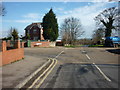
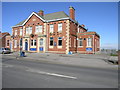
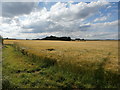
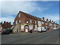
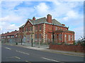
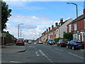
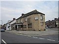
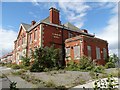


12 photos from this area
Area Information
Key information about the S25 2QG including its size, population, and administrative classification.
- Area Type
- Postcode
- Area Size
- 1.2 hectares
- Population
- 1660
- Population Density
- 3451 people/km²
House Prices in S25 2QG
62
Properties
£61,196
Average Sold Price
£19,200
Lowest Price
£115,000
Highest Price
Showing 62 properties
| Address | Type | Beds | Baths | Last Sale Price | Last Sale Date | |
|---|---|---|---|---|---|---|
| 106 Lordens Hill, Dinnington, Rotherham, S25 2QG | Terraced | 2 | 1 | £115,000 | Aug 2025 | |
| 156 Lordens Hill, Dinnington, Rotherham, S25 2QG | Terraced | 2 | 1 | £115,000 | Nov 2024 | |
| 62 Lordens Hill, Dinnington, Rotherham, S25 2QG | Terraced | 2 | 1 | £83,000 | Sep 2023 | |
| 130 Lordens Hill, Dinnington, Rotherham, S25 2QG | Terraced | 3 | - | £93,500 | Oct 2022 | |
| 138 Lordens Hill, Dinnington, Rotherham, S25 2QG | house | - | - | £70,000 | May 2022 | |
| 76 Lordens Hill, Dinnington, Rotherham, S25 2QG | Terraced | 2 | 1 | £70,000 | Oct 2021 | |
| 120 Lordens Hill, Dinnington, Rotherham, S25 2QG | house | - | - | £100,000 | Jul 2021 | |
| 126 Lordens Hill, Dinnington, Rotherham, S25 2QG | house | 3 | 1 | £61,000 | Feb 2021 | |
| 72 Lordens Hill, Dinnington, Rotherham, S25 2QG | Terraced | 2 | - | £71,000 | Dec 2020 | |
| 78 Lordens Hill, Dinnington, Rotherham, S25 2QG | Terraced | 3 | 2 | £61,000 | Nov 2020 |
Page 1 of 7
Energy Efficiency in S25 2QG
Amenities
Schools
| Rank | School | Type | Entry gender | Ages |
|---|
Explore more schools in this area
Go to Schools tabDemographics
Household Size
One person
most common
Accommodation Type
Houses
most common
Tenure
32
majority
Ethnic Group
White
most common
Religion
N/A
most common
Household Composition
N/A
most common
Age
47
median
Adults (30-64 years)
most common
Household Deprivation
N/A
with no deprivation
NS-SEC
12
in Lower managerial occupations
Explore more demographic insights in this area
Go to Demographics tabPlanning
Planning Constraints
- Flood RiskPremium
- Ramsar Wetland SitesPremium
- Area of Outstanding Natural BeautyPremium
- Protected Nature ReservePremium
- Protected WoodlandPremium