Area Overview for S20 5AZ
Photos of S20 5AZ
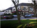
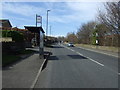
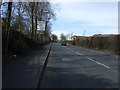
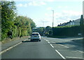
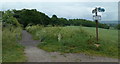
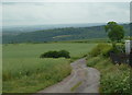
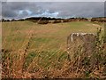
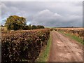
20 photos from this area
Area Information
Key information about the S20 5AZ including its size, population, and administrative classification.
- Area Type
- Postcode
- Area Size
- 7.3 hectares
- Population
- 1370
- Population Density
- 1011 people/km²
House Prices in S20 5AZ
13
Properties
£354,500
Average Sold Price
£162,500
Lowest Price
£560,000
Highest Price
Showing 13 properties
| Address | Type | Beds | Baths | Last Sale Price | Last Sale Date | |
|---|---|---|---|---|---|---|
| View Point, 1 Quarry Hill, Sheffield, S20 5AZ | Bungalow | - | - | £460,000 | Nov 2021 | |
| 11 Quarry Hill, Sheffield, S20 5AZ | house | 5 | - | £560,000 | Aug 2012 | |
| The Bungalow, Quarry Hill, Sheffield, S20 5AZ | Bungalow | 3 | - | £200,000 | Jun 2011 | |
| Corner View, Quarry Hill, Sheffield, S20 5AZ | Detached | - | - | £390,000 | Apr 2011 | |
| Rose Cottage, 67 Quarry Hill, Sheffield, S20 5AZ | Detached | - | - | £162,500 | Mar 1999 | |
| The Annexe, Rose Cottage, 67 Quarry Hill, Sheffield, S20 5AZ | Semi-detached | 3 | - | - | - | |
| Managers Accommodation, Ridgeway Arms, Quarry Hill, Sheffield, S20 5AZ | Flat | - | - | - | - | |
| Hantom House, Quarry Hill, Sheffield, S20 5AZ | Detached | - | - | - | - | |
| Camm Cottage, Quarry Hill, Sheffield, S20 5AZ | Semi-detached | - | - | - | - | |
| Camm House Farm, Quarry Hill, Sheffield, S20 5AZ | Semi-detached | - | - | - | - |
Page 1 of 2
Energy Efficiency in S20 5AZ
Amenities
Schools
| Rank | School | Type | Entry gender | Ages |
|---|
Explore more schools in this area
Go to Schools tabDemographics
Household Size
Two person
most common
Accommodation Type
Houses
most common
Tenure
93
majority
Ethnic Group
White
most common
Religion
N/A
most common
Household Composition
N/A
most common
Age
47
median
Adults (30-64 years)
most common
Household Deprivation
N/A
with no deprivation
NS-SEC
46
in Lower managerial occupations
Explore more demographic insights in this area
Go to Demographics tabPlanning
Planning Constraints
- Flood RiskPremium
- Ramsar Wetland SitesPremium
- Area of Outstanding Natural BeautyPremium
- Protected Nature ReservePremium
- Protected WoodlandPremium