Area Overview for S20 5AF
Photos of S20 5AF
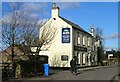
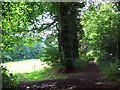
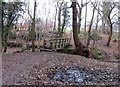
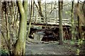
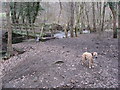
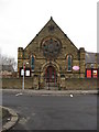
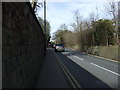
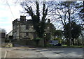
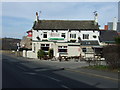
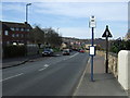
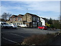
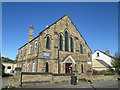
51 photos from this area
Area Information
Key information about the S20 5AF including its size, population, and administrative classification.
- Area Type
- Postcode
- Area Size
- 1.6 hectares
- Population
- 1985
- Population Density
- 852 people/km²
House Prices in S20 5AF
45
Properties
£105,369
Average Sold Price
£13,000
Lowest Price
£175,000
Highest Price
Showing 45 properties
| Address | Type | Beds | Baths | Last Sale Price | Last Sale Date | |
|---|---|---|---|---|---|---|
| 117 High Street, Mosborough, Sheffield, S20 5AF | Terraced | 3 | 2 | £170,000 | Aug 2025 | |
| 95 High Street, Mosborough, Sheffield, S20 5AF | Terraced | 2 | 1 | £170,000 | May 2023 | |
| 81 High Street, Mosborough, Sheffield, S20 5AF | Terraced | 3 | 1 | £147,500 | May 2022 | |
| 65 High Street, Mosborough, Sheffield, S20 5AF | Semi-detached | 3 | - | £175,000 | Nov 2017 | |
| 83 High Street, Mosborough, Sheffield, S20 5AF | Terraced | 3 | 1 | £108,000 | Jul 2017 | |
| 125 High Street, Mosborough, Sheffield, S20 5AF | Detached | 3 | - | £161,000 | Jun 2016 | |
| 89 High Street, Mosborough, Sheffield, S20 5AF | Terraced | 2 | 1 | £105,000 | Nov 2015 | |
| 87 High Street, Mosborough, Sheffield, S20 5AF | house | 2 | - | £105,000 | Jul 2014 | |
| 63 High Street, Mosborough, Sheffield, S20 5AF | Semi-detached | - | - | £165,000 | Jul 2007 | |
| Oak Grange, 17 High Street, Mosborough, Sheffield, S20 5AF | house | - | - | £169,950 | Dec 2004 |
Page 1 of 5
Energy Efficiency in S20 5AF
Amenities
Schools
| Rank | School | Type | Entry gender | Ages |
|---|
Explore more schools in this area
Go to Schools tabDemographics
Household Size
Two person
most common
Accommodation Type
Houses
most common
Tenure
73
majority
Ethnic Group
White
most common
Religion
N/A
most common
Household Composition
N/A
most common
Age
47
median
Adults (30-64 years)
most common
Household Deprivation
N/A
with no deprivation
NS-SEC
35
in Lower managerial occupations
Explore more demographic insights in this area
Go to Demographics tabPlanning
Planning Constraints
- Flood RiskPremium
- Ramsar Wetland SitesPremium
- Area of Outstanding Natural BeautyPremium
- Protected Nature ReservePremium
- Protected WoodlandPremium