Area Overview for S20 4SN
Photos of S20 4SN
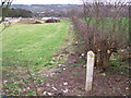
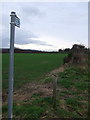
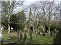
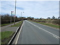
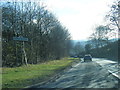
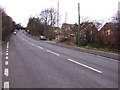
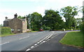
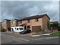
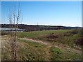
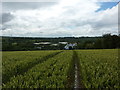
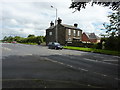
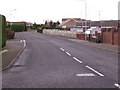
19 photos from this area
Area Information
Key information about the S20 4SN including its size, population, and administrative classification.
- Area Type
- Postcode
- Area Size
- 9303 m²
- Population
- 2409
- Population Density
- 3785 people/km²
House Prices in S20 4SN
31
Properties
£167,350
Average Sold Price
£38,000
Lowest Price
£300,000
Highest Price
Showing 31 properties
| Address | Type | Beds | Baths | Last Sale Price | Last Sale Date | |
|---|---|---|---|---|---|---|
| 21 Deepwell Bank, Sheffield, S20 4SN | Terraced | - | - | £40,000 | Jun 2025 | |
| 23 Deepwell Bank, Sheffield, S20 4SN | Terraced | 3 | 2 | £185,000 | Nov 2024 | |
| 15 Deepwell Bank, Sheffield, S20 4SN | Terraced | 2 | 1 | £170,000 | Nov 2023 | |
| 12 Deepwell Bank, Sheffield, S20 4SN | Detached | 3 | 3 | £280,000 | Apr 2023 | |
| 19 Deepwell Bank, Sheffield, S20 4SN | house | - | - | £193,800 | May 2022 | |
| 22 Deepwell Bank, Sheffield, S20 4SN | house | 3 | - | £265,000 | Sep 2021 | |
| 8 Deepwell Bank, Sheffield, S20 4SN | house | - | - | £285,000 | Mar 2021 | |
| 35 Deepwell Bank, Sheffield, S20 4SN | house | 3 | - | £220,000 | Mar 2020 | |
| 2 Deepwell Bank, Sheffield, S20 4SN | Detached | 4 | - | £300,000 | Mar 2020 | |
| 31 Deepwell Bank, Sheffield, S20 4SN | house | - | - | £232,000 | Jan 2018 |
Page 1 of 4
Energy Efficiency in S20 4SN
Amenities
Schools
| Rank | School | Type | Entry gender | Ages |
|---|
Explore more schools in this area
Go to Schools tabDemographics
Household Size
Two person
most common
Accommodation Type
Houses
most common
Tenure
81
majority
Ethnic Group
White
most common
Religion
N/A
most common
Household Composition
N/A
most common
Age
47
median
Adults (30-64 years)
most common
Household Deprivation
N/A
with no deprivation
NS-SEC
43
in Lower managerial occupations
Explore more demographic insights in this area
Go to Demographics tabPlanning
Planning Constraints
- Flood RiskPremium
- Ramsar Wetland SitesPremium
- Area of Outstanding Natural BeautyPremium
- Protected Nature ReservePremium
- Protected WoodlandPremium