Area Overview for S20 1ED
Photos of S20 1ED
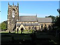
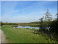
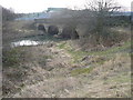
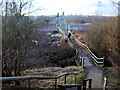
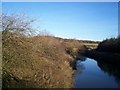
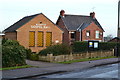
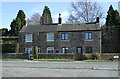
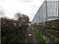
58 photos from this area
Area Information
Key information about the S20 1ED including its size, population, and administrative classification.
- Area Type
- Postcode
- Area Size
- 4.6 hectares
- Population
- 1424
- Population Density
- 3171 people/km²
House Prices in S20 1ED
6
Properties
£785,000
Average Sold Price
£185,000
Lowest Price
£1,385,000
Highest Price
Showing 6 properties
| Address | Type | Beds | Baths | Last Sale Price | Last Sale Date | |
|---|---|---|---|---|---|---|
| 60 High Street, Beighton, Sheffield, S20 1ED | Semi-detached | 3 | 1 | £1,385,000 | Jan 2019 | |
| 56 High Street, Beighton, Sheffield, S20 1ED | Terraced | 2 | 1 | £185,000 | Jun 2016 | |
| Veolia, Recycling Point At Beighton Sports And Leisure Club, High Street, Beighton, Sheffield, S20 1ED | commercial | - | - | - | - | |
| Managers Accommodation, Beighton Sports & Leisure Club, 52A High Street, Beighton, Sheffield, S20 1ED | Flat | - | - | - | - | |
| Bowling Green At Beighton Sports And Leisure Club, 52A High Street, Beighton, Sheffield, S20 1ED | Leisure | - | - | - | - | |
| Land Rear Of Beighton Sports And Leisure Club 52A, High Street, Beighton, Sheffield, S20 1ED | Leisure | - | - | - | - |
Energy Efficiency in S20 1ED
Amenities
Schools
| Rank | School | Type | Entry gender | Ages |
|---|
Explore more schools in this area
Go to Schools tabDemographics
Household Size
Two person
most common
Accommodation Type
Houses
most common
Tenure
79
majority
Ethnic Group
White
most common
Religion
N/A
most common
Household Composition
N/A
most common
Age
47
median
Adults (30-64 years)
most common
Household Deprivation
N/A
with no deprivation
NS-SEC
33
in Lower managerial occupations
Explore more demographic insights in this area
Go to Demographics tabPlanning
Planning Constraints
- Flood RiskPremium
- Ramsar Wetland SitesPremium
- Area of Outstanding Natural BeautyPremium
- Protected Nature ReservePremium
- Protected WoodlandPremium