Area Overview for S2 4FA
Photos of S2 4FA
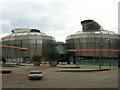
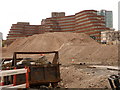
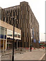
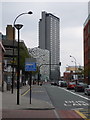
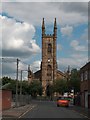
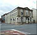
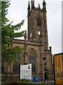
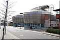
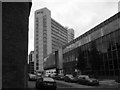
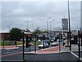

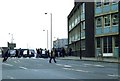
100 photos from this area
Area Information
Key information about the S2 4FA including its size, population, and administrative classification.
- Area Type
- Postcode
- Area Size
- 8079 m²
- Population
- 2219
- Population Density
- 8052 people/km²
House Prices in S2 4FA
49
Properties
£131,017
Average Sold Price
£17,000
Lowest Price
£240,000
Highest Price
Showing 49 properties
| Address | Type | Beds | Baths | Last Sale Price | Last Sale Date | |
|---|---|---|---|---|---|---|
| 385 Shoreham Street, Sheffield, S2 4FA | Detached | 5 | 1 | £220,000 | Jul 2025 | |
| 307 Shoreham Street, Sheffield, S2 4FA | Terraced | 4 | 1 | £165,000 | May 2024 | |
| 371 Shoreham Street, Sheffield, S2 4FA | house | - | - | £140,000 | Jun 2022 | |
| 375 Shoreham Street, Sheffield, S2 4FA | Terraced | 5 | 2 | £210,000 | May 2021 | |
| 349 Shoreham Street, Sheffield, S2 4FA | Terraced | 3 | 1 | £140,000 | Jan 2019 | |
| 351 Shoreham Street, Sheffield, S2 4FA | Terraced | 5 | 2 | £170,000 | Apr 2018 | |
| 397A Shoreham Street, Sheffield, S2 4FA | Terraced | 5 | 1 | £220,000 | Apr 2018 | |
| 377 Shoreham Street, Sheffield, S2 4FA | Terraced | 5 | 2 | £175,000 | Jan 2018 | |
| 393 Shoreham Street, Sheffield, S2 4FA | Terraced | 5 | 2 | £175,000 | Jan 2018 | |
| 367 Shoreham Street, Sheffield, S2 4FA | Terraced | 5 | 5 | £240,000 | Mar 2017 |
Page 1 of 5
Energy Efficiency in S2 4FA
Amenities
Schools
| Rank | School | Type | Entry gender | Ages |
|---|
Explore more schools in this area
Go to Schools tabDemographics
Household Size
Family (3-5 people)
most common
Accommodation Type
Houses
most common
Tenure
16
majority
Ethnic Group
White
most common
Religion
N/A
most common
Household Composition
N/A
most common
Age
22
median
Young Adults (15-29 years)
most common
Household Deprivation
N/A
with no deprivation
NS-SEC
12
in Lower managerial occupations
Explore more demographic insights in this area
Go to Demographics tabPlanning
Planning Constraints
- Flood RiskPremium
- Ramsar Wetland SitesPremium
- Area of Outstanding Natural BeautyPremium
- Protected Nature ReservePremium
- Protected WoodlandPremium