Area Overview for S2 1HT
Photos of S2 1HT
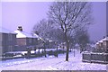

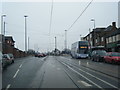
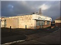
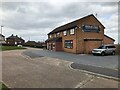
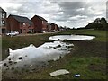
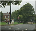
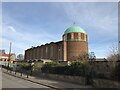
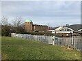
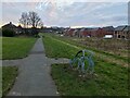
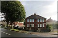
40 photos from this area
Area Information
Key information about the S2 1HT including its size, population, and administrative classification.
- Area Type
- Postcode
- Area Size
- 6307 m²
- Population
- 2328
- Population Density
- 4563 people/km²
House Prices in S2 1HT
39
Properties
£98,765
Average Sold Price
£54,220
Lowest Price
£155,000
Highest Price
Showing 39 properties
| Address | Type | Beds | Baths | Last Sale Price | Last Sale Date | |
|---|---|---|---|---|---|---|
| 136 Queen Mary Road, Sheffield, S2 1HT | Flat | 2 | 1 | £54,220 | May 2025 | |
| 132 Queen Mary Road, Sheffield, S2 1HT | Flat | - | - | £85,000 | Dec 2023 | |
| 142 Queen Mary Road, Sheffield, S2 1HT | Flat | 2 | 1 | £95,000 | Nov 2023 | |
| 146 Queen Mary Road, Sheffield, S2 1HT | Terraced | 3 | 1 | £155,000 | Feb 2023 | |
| 126 Queen Mary Road, Sheffield, S2 1HT | Terraced | 2 | 1 | £132,000 | Oct 2022 | |
| 150 Queen Mary Road, Sheffield, S2 1HT | house | - | - | £125,000 | Mar 2022 | |
| 124 Queen Mary Road, Sheffield, S2 1HT | house | - | - | £127,500 | Jan 2022 | |
| 152 Queen Mary Road, Sheffield, S2 1HT | house | - | - | £105,000 | Feb 2020 | |
| 130 Queen Mary Road, Sheffield, S2 1HT | Flat | 2 | 1 | £85,001 | Jan 2020 | |
| 122 Queen Mary Road, Sheffield, S2 1HT | Terraced | 2 | 1 | £97,000 | Oct 2018 |
Page 1 of 4
Energy Efficiency in S2 1HT
Amenities
Schools
| Rank | School | Type | Entry gender | Ages |
|---|
Explore more schools in this area
Go to Schools tabDemographics
Household Size
One person
most common
Accommodation Type
Houses
most common
Tenure
28
majority
Ethnic Group
White
most common
Religion
N/A
most common
Household Composition
N/A
most common
Age
47
median
Adults (30-64 years)
most common
Household Deprivation
N/A
with no deprivation
NS-SEC
19
in Lower managerial occupations
Explore more demographic insights in this area
Go to Demographics tabPlanning
Planning Constraints
- Flood RiskPremium
- Ramsar Wetland SitesPremium
- Area of Outstanding Natural BeautyPremium
- Protected Nature ReservePremium
- Protected WoodlandPremium