Area Overview for S17 4PW
Photos of S17 4PW
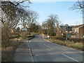
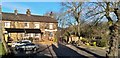
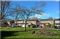
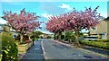
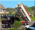
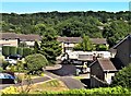
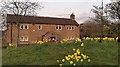
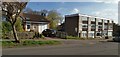
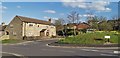
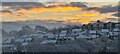
89 photos from this area
Area Information
Key information about the S17 4PW including its size, population, and administrative classification.
- Area Type
- Postcode
- Area Size
- 9526 m²
- Population
- 1389
- Population Density
- 3525 people/km²
House Prices in S17 4PW
24
Properties
£212,938
Average Sold Price
£64,300
Lowest Price
£337,000
Highest Price
Showing 24 properties
| Address | Type | Beds | Baths | Last Sale Price | Last Sale Date | |
|---|---|---|---|---|---|---|
| 56 Twentywell Road, Sheffield, S17 4PW | Semi-detached | 3 | 1 | £305,000 | Jul 2023 | |
| 40 Twentywell Road, Sheffield, S17 4PW | Retail | 3 | 1 | £337,000 | Jan 2022 | |
| 32 Twentywell Road, Sheffield, S17 4PW | house | - | - | £242,500 | Dec 2020 | |
| 58 Twentywell Road, Sheffield, S17 4PW | house | - | - | £267,500 | Jan 2019 | |
| 22 Twentywell Road, Sheffield, S17 4PW | house | - | - | £245,000 | Oct 2018 | |
| 64 Twentywell Road, Sheffield, S17 4PW | house | - | - | £279,000 | Jul 2017 | |
| 66 Twentywell Road, Sheffield, S17 4PW | Detached | 3 | 1 | £250,000 | Sep 2014 | |
| 38 Twentywell Road, Sheffield, S17 4PW | house | - | - | £265,000 | Jul 2014 | |
| 28 Twentywell Road, Sheffield, S17 4PW | house | - | - | £288,000 | Sep 2012 | |
| 62 Twentywell Road, Sheffield, S17 4PW | house | - | - | £195,000 | Dec 2010 |
Page 1 of 3
Energy Efficiency in S17 4PW
Amenities
Schools
| Rank | School | Type | Entry gender | Ages |
|---|
Explore more schools in this area
Go to Schools tabDemographics
Household Size
Two person
most common
Accommodation Type
Houses
most common
Tenure
95
majority
Ethnic Group
White
most common
Religion
N/A
most common
Household Composition
N/A
most common
Age
47
median
Adults (30-64 years)
most common
Household Deprivation
N/A
with no deprivation
NS-SEC
55
in Lower managerial occupations
Explore more demographic insights in this area
Go to Demographics tabPlanning
Planning Constraints
- Flood RiskPremium
- Ramsar Wetland SitesPremium
- Area of Outstanding Natural BeautyPremium
- Protected Nature ReservePremium
- Protected WoodlandPremium