Area Overview for S17 4JH
Photos of S17 4JH
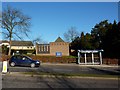
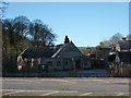
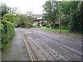
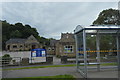
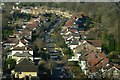
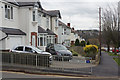
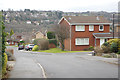
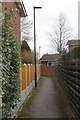
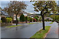
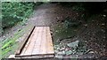
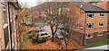
84 photos from this area
Area Information
Key information about the S17 4JH including its size, population, and administrative classification.
- Area Type
- Postcode
- Area Size
- 1.0 hectares
- Population
- 1449
- Population Density
- 2563 people/km²
House Prices in S17 4JH
21
Properties
£222,485
Average Sold Price
£99,950
Lowest Price
£380,000
Highest Price
Showing 21 properties
| Address | Type | Beds | Baths | Last Sale Price | Last Sale Date | |
|---|---|---|---|---|---|---|
| 11 Prospect Drive, Sheffield, S17 4JH | Detached | 4 | 1 | £380,000 | Jun 2025 | |
| 19 Prospect Drive, Sheffield, S17 4JH | Detached | 4 | 1 | £345,000 | Aug 2023 | |
| 25 Prospect Drive, Sheffield, S17 4JH | Detached | 3 | - | £330,000 | Jul 2022 | |
| 8 Prospect Drive, Sheffield, S17 4JH | Retail | 3 | 1 | £278,000 | Jul 2022 | |
| 27 Prospect Drive, Sheffield, S17 4JH | Bungalow | 2 | 1 | £257,500 | Jul 2019 | |
| 6 Prospect Drive, Sheffield, S17 4JH | Semi-detached | 3 | - | £157,000 | Jul 2014 | |
| 29 Prospect Drive, Sheffield, S17 4JH | house | - | - | £210,000 | Sep 2013 | |
| 10 Prospect Drive, Sheffield, S17 4JH | Semi-detached | - | - | £132,500 | Aug 2009 | |
| 21 Prospect Drive, Sheffield, S17 4JH | Detached | 3 | 2 | £199,950 | Aug 2007 | |
| 31 Prospect Drive, Sheffield, S17 4JH | Detached | - | - | £190,000 | Aug 2005 |
Page 1 of 3
Energy Efficiency in S17 4JH
Amenities
Schools
| Rank | School | Type | Entry gender | Ages |
|---|
Explore more schools in this area
Go to Schools tabDemographics
Household Size
Two person
most common
Accommodation Type
Houses
most common
Tenure
95
majority
Ethnic Group
White
most common
Religion
N/A
most common
Household Composition
N/A
most common
Age
47
median
Adults (30-64 years)
most common
Household Deprivation
N/A
with no deprivation
NS-SEC
55
in Lower managerial occupations
Explore more demographic insights in this area
Go to Demographics tabPlanning
Planning Constraints
- Flood RiskPremium
- Ramsar Wetland SitesPremium
- Area of Outstanding Natural BeautyPremium
- Protected Nature ReservePremium
- Protected WoodlandPremium