Area Overview for S17 3AR
Photos of S17 3AR
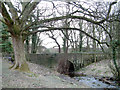
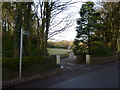
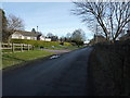
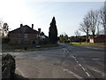
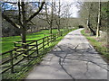
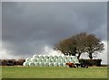
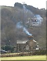
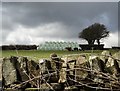
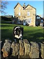

62 photos from this area
Area Information
Key information about the S17 3AR including its size, population, and administrative classification.
- Area Type
- Postcode
- Area Size
- 8177 m²
- Population
- 1733
- Population Density
- 2305 people/km²
House Prices in S17 3AR
12
Properties
£423,600
Average Sold Price
£125,000
Lowest Price
£650,000
Highest Price
Showing 12 properties
| Address | Type | Beds | Baths | Last Sale Price | Last Sale Date | |
|---|---|---|---|---|---|---|
| 16 Middlefield Close, Sheffield, S17 3AR | Bungalow | 3 | 1 | £540,000 | Dec 2025 | |
| 4 Middlefield Close, Sheffield, S17 3AR | Detached | 4 | 3 | £650,000 | Apr 2021 | |
| 6 Middlefield Close, Sheffield, S17 3AR | Bungalow | - | - | £440,000 | Oct 2020 | |
| Geleen, 8 Middlefield Close, Sheffield, S17 3AR | Detached | 4 | 2 | £520,000 | Apr 2018 | |
| 9 Middlefield Close, Sheffield, S17 3AR | Detached | 4 | 2 | £425,000 | Sep 2015 | |
| 2 Middlefield Close, Sheffield, S17 3AR | Bungalow | - | - | £442,000 | Jan 2013 | |
| 10 Middlefield Close, Sheffield, S17 3AR | Bungalow | - | - | £320,000 | Oct 2012 | |
| 12 Middlefield Close, Sheffield, S17 3AR | house | 4 | - | £430,000 | Dec 2011 | |
| 17 Middlefield Close, Sheffield, S17 3AR | Detached | - | - | £344,000 | Sep 2009 | |
| 15 Middlefield Close, Sheffield, S17 3AR | Bungalow | - | - | £125,000 | Nov 1996 |
Page 1 of 2
Energy Efficiency in S17 3AR
Amenities
Schools
| Rank | School | Type | Entry gender | Ages |
|---|
Explore more schools in this area
Go to Schools tabDemographics
Household Size
Two person
most common
Accommodation Type
Houses
most common
Tenure
81
majority
Ethnic Group
White
most common
Religion
N/A
most common
Household Composition
N/A
most common
Age
47
median
Adults (30-64 years)
most common
Household Deprivation
N/A
with no deprivation
NS-SEC
54
in Lower managerial occupations
Explore more demographic insights in this area
Go to Demographics tabPlanning
Planning Constraints
- Flood RiskPremium
- Ramsar Wetland SitesPremium
- Area of Outstanding Natural BeautyPremium
- Protected Nature ReservePremium
- Protected WoodlandPremium