Area Overview for S14 1SD
Photos of S14 1SD
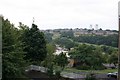
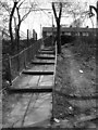
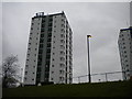
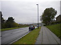
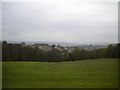
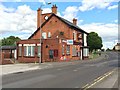
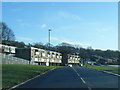
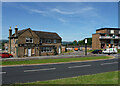
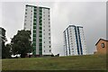
47 photos from this area
Area Information
Key information about the S14 1SD including its size, population, and administrative classification.
- Area Type
- Postcode
- Area Size
- 1.1 hectares
- Population
- 1641
- Population Density
- 2726 people/km²
House Prices in S14 1SD
33
Properties
£92,186
Average Sold Price
£37,950
Lowest Price
£126,000
Highest Price
Showing 33 properties
| Address | Type | Beds | Baths | Last Sale Price | Last Sale Date | |
|---|---|---|---|---|---|---|
| 208 Raeburn Road, Sheffield, S14 1SD | house | - | - | £105,000 | Jan 2024 | |
| 202 Raeburn Road, Sheffield, S14 1SD | Terraced | 3 | 1 | £125,000 | Oct 2023 | |
| 184 Raeburn Road, Sheffield, S14 1SD | house | 3 | 1 | £126,000 | Aug 2022 | |
| 174 Raeburn Road, Sheffield, S14 1SD | Terraced | 3 | 1 | £110,000 | May 2022 | |
| 186 Raeburn Road, Sheffield, S14 1SD | house | - | - | £112,500 | Jan 2022 | |
| 152 Raeburn Road, Sheffield, S14 1SD | house | 3 | - | £102,500 | Aug 2020 | |
| 188 Raeburn Road, Sheffield, S14 1SD | Terraced | 3 | - | £87,000 | Aug 2016 | |
| 170 Raeburn Road, Sheffield, S14 1SD | Semi-detached | 3 | - | £79,285 | May 2016 | |
| 196 Raeburn Road, Sheffield, S14 1SD | house | - | - | £77,000 | Sep 2014 | |
| 150 Raeburn Road, Sheffield, S14 1SD | house | - | - | £66,000 | Aug 2010 |
Page 1 of 4
Energy Efficiency in S14 1SD
Amenities
Schools
| Rank | School | Type | Entry gender | Ages |
|---|
Explore more schools in this area
Go to Schools tabDemographics
Household Size
One person
most common
Accommodation Type
Houses
most common
Tenure
38
majority
Ethnic Group
White
most common
Religion
N/A
most common
Household Composition
N/A
most common
Age
47
median
Adults (30-64 years)
most common
Household Deprivation
N/A
with no deprivation
NS-SEC
17
in Lower managerial occupations
Explore more demographic insights in this area
Go to Demographics tabPlanning
Planning Constraints
- Flood RiskPremium
- Ramsar Wetland SitesPremium
- Area of Outstanding Natural BeautyPremium
- Protected Nature ReservePremium
- Protected WoodlandPremium