Area Overview for S13 8AZ
Photos of S13 8AZ
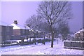
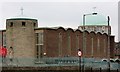
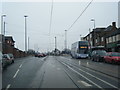
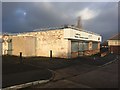
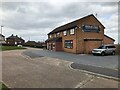
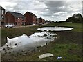
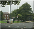
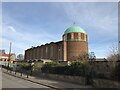
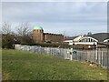
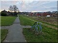
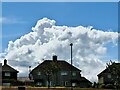
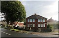
40 photos from this area
Area Information
Key information about the S13 8AZ including its size, population, and administrative classification.
- Area Type
- Postcode
- Area Size
- 1.1 hectares
- Population
- 1402
- Population Density
- 5832 people/km²
House Prices in S13 8AZ
32
Properties
£92,700
Average Sold Price
£57,500
Lowest Price
£225,000
Highest Price
Showing 32 properties
| Address | Type | Beds | Baths | Last Sale Price | Last Sale Date | |
|---|---|---|---|---|---|---|
| 38 Mosborough Road, Sheffield, S13 8AZ | Semi-detached | 3 | 2 | £225,000 | May 2025 | |
| 8 Mosborough Road, Sheffield, S13 8AZ | Terraced | 3 | 1 | £62,500 | Jun 2024 | |
| 1 Mosborough Road, Sheffield, S13 8AZ | Semi-detached | 3 | 1 | £76,000 | Oct 2020 | |
| 6 Mosborough Road, Sheffield, S13 8AZ | Terraced | 2 | 1 | £80,000 | May 2020 | |
| 20 Mosborough Road, Sheffield, S13 8AZ | Terraced | 3 | 1 | £87,000 | Mar 2020 | |
| 26 Mosborough Road, Sheffield, S13 8AZ | Semi-detached | 3 | - | £68,000 | Nov 2014 | |
| 34 Mosborough Road, Sheffield, S13 8AZ | Semi-detached | - | - | £83,302 | Aug 2008 | |
| 10 Mosborough Road, Sheffield, S13 8AZ | Terraced | - | - | £95,000 | Jun 2007 | |
| 32 Mosborough Road, Sheffield, S13 8AZ | house | - | - | £57,500 | Jun 2003 | |
| 2 Mosborough Road, Sheffield, S13 8AZ | Semi-detached | 3 | 1 | - | - |
Page 1 of 4
Energy Efficiency in S13 8AZ
Amenities
Schools
| Rank | School | Type | Entry gender | Ages |
|---|
Explore more schools in this area
Go to Schools tabDemographics
Household Size
Two person
most common
Accommodation Type
Houses
most common
Tenure
57
majority
Ethnic Group
White
most common
Religion
N/A
most common
Household Composition
N/A
most common
Age
47
median
Adults (30-64 years)
most common
Household Deprivation
N/A
with no deprivation
NS-SEC
18
in Lower managerial occupations
Explore more demographic insights in this area
Go to Demographics tabPlanning
Planning Constraints
- Flood RiskPremium
- Ramsar Wetland SitesPremium
- Area of Outstanding Natural BeautyPremium
- Protected Nature ReservePremium
- Protected WoodlandPremium