Area Overview for S13 7JB
Photos of S13 7JB
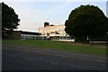
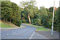
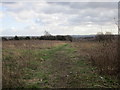
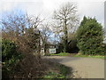
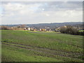
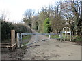
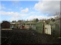
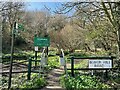
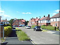
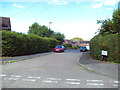
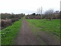
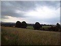
20 photos from this area
Area Information
Key information about the S13 7JB including its size, population, and administrative classification.
- Area Type
- Postcode
- Area Size
- 1.0 hectares
- Population
- 1492
- Population Density
- 3588 people/km²
House Prices in S13 7JB
32
Properties
£107,747
Average Sold Price
£29,000
Lowest Price
£171,000
Highest Price
Showing 32 properties
| Address | Type | Beds | Baths | Last Sale Price | Last Sale Date | |
|---|---|---|---|---|---|---|
| 25 Mauncer Crescent, Sheffield, S13 7JB | Semi-detached | 3 | 1 | £171,000 | Apr 2024 | |
| 69 Mauncer Crescent, Sheffield, S13 7JB | Terraced | 2 | 1 | £125,000 | Oct 2023 | |
| 65 Mauncer Crescent, Sheffield, S13 7JB | Flat | - | - | £113,000 | Feb 2023 | |
| 19 Mauncer Crescent, Sheffield, S13 7JB | Semi-detached | 3 | 1 | £141,000 | Feb 2023 | |
| 23 Mauncer Crescent, Sheffield, S13 7JB | Retail | 2 | 1 | £158,000 | May 2022 | |
| 29 Mauncer Crescent, Sheffield, S13 7JB | Semi-detached | 2 | 1 | £148,000 | Jan 2022 | |
| 59 Mauncer Crescent, Sheffield, S13 7JB | Terraced | 2 | 1 | £110,000 | Apr 2019 | |
| 41 Mauncer Crescent, Sheffield, S13 7JB | Semi-detached | 3 | - | £105,000 | Nov 2015 | |
| 63 Mauncer Crescent, Sheffield, S13 7JB | Semi-detached | 2 | - | £66,000 | May 2013 | |
| 47 Mauncer Crescent, Sheffield, S13 7JB | Semi-detached | - | - | £80,000 | Mar 2011 |
Page 1 of 4
Energy Efficiency in S13 7JB
Amenities
Schools
| Rank | School | Type | Entry gender | Ages |
|---|
Explore more schools in this area
Go to Schools tabDemographics
Household Size
One person
most common
Accommodation Type
Houses
most common
Tenure
65
majority
Ethnic Group
White
most common
Religion
N/A
most common
Household Composition
N/A
most common
Age
47
median
Adults (30-64 years)
most common
Household Deprivation
N/A
with no deprivation
NS-SEC
24
in Lower managerial occupations
Explore more demographic insights in this area
Go to Demographics tabPlanning
Planning Constraints
- Flood RiskPremium
- Ramsar Wetland SitesPremium
- Area of Outstanding Natural BeautyPremium
- Protected Nature ReservePremium
- Protected WoodlandPremium