Area Overview for S12 4BN
Photos of S12 4BN
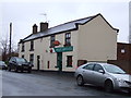
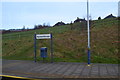
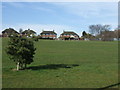
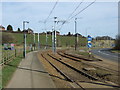
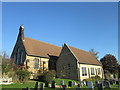
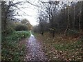
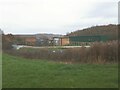
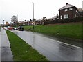
39 photos from this area
Area Information
Key information about the S12 4BN including its size, population, and administrative classification.
- Area Type
- Postcode
- Area Size
- 1.1 hectares
- Population
- 1488
- Population Density
- 2998 people/km²
House Prices in S12 4BN
28
Properties
£120,269
Average Sold Price
£59,995
Lowest Price
£195,000
Highest Price
Showing 28 properties
| Address | Type | Beds | Baths | Last Sale Price | Last Sale Date | |
|---|---|---|---|---|---|---|
| 161 Birley Spa Lane, Sheffield, S12 4BN | house | - | - | £166,000 | Jan 2025 | |
| 147 Birley Spa Lane, Sheffield, S12 4BN | Semi-detached | 3 | 1 | £176,500 | Sep 2024 | |
| 165 Birley Spa Lane, Sheffield, S12 4BN | Semi-detached | 2 | 1 | £155,000 | Sep 2024 | |
| 139 Birley Spa Lane, Sheffield, S12 4BN | Semi-detached | 3 | 2 | £195,000 | Nov 2022 | |
| 155 Birley Spa Lane, Sheffield, S12 4BN | house | - | - | £155,000 | Sep 2021 | |
| 179 Birley Spa Lane, Sheffield, S12 4BN | house | - | - | £145,000 | Sep 2016 | |
| 181 Birley Spa Lane, Sheffield, S12 4BN | Semi-detached | 3 | - | £93,000 | Sep 2015 | |
| 137 Birley Spa Lane, Sheffield, S12 4BN | Semi-detached | 3 | - | £87,000 | Nov 2014 | |
| 159 Birley Spa Lane, Sheffield, S12 4BN | Semi-detached | 3 | - | £92,000 | Sep 2013 | |
| 167 Birley Spa Lane, Sheffield, S12 4BN | house | 2 | - | £78,000 | Apr 2011 |
Page 1 of 3
Energy Efficiency in S12 4BN
Amenities
Schools
| Rank | School | Type | Entry gender | Ages |
|---|
Explore more schools in this area
Go to Schools tabDemographics
Household Size
Family (3-5 people)
most common
Accommodation Type
Houses
most common
Tenure
55
majority
Ethnic Group
White
most common
Religion
N/A
most common
Household Composition
N/A
most common
Age
47
median
Adults (30-64 years)
most common
Household Deprivation
N/A
with no deprivation
NS-SEC
18
in Lower managerial occupations
Explore more demographic insights in this area
Go to Demographics tabPlanning
Planning Constraints
- Flood RiskPremium
- Ramsar Wetland SitesPremium
- Area of Outstanding Natural BeautyPremium
- Protected Nature ReservePremium
- Protected WoodlandPremium