Area Overview for S12 3LH
Photos of S12 3LH
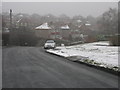
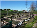
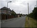
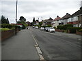
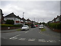
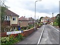
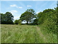
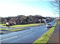
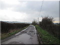
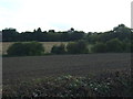
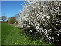
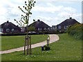
14 photos from this area
Area Information
Key information about the S12 3LH including its size, population, and administrative classification.
- Area Type
- Postcode
- Area Size
- 10.8 hectares
- Population
- 1335
- Population Density
- 2214 people/km²
House Prices in S12 3LH
33
Properties
£129,156
Average Sold Price
£40,950
Lowest Price
£200,000
Highest Price
Showing 33 properties
| Address | Type | Beds | Baths | Last Sale Price | Last Sale Date | |
|---|---|---|---|---|---|---|
| 130 Bowman Drive, Sheffield, S12 3LH | Semi-detached | 2 | 1 | £160,000 | Feb 2025 | |
| 96 Bowman Drive, Sheffield, S12 3LH | Terraced | 3 | 1 | £200,000 | Nov 2023 | |
| 140 Bowman Drive, Sheffield, S12 3LH | house | - | - | £176,625 | Oct 2021 | |
| 100 Bowman Drive, Sheffield, S12 3LH | Terraced | 3 | 1 | £155,000 | Jun 2021 | |
| 132 Bowman Drive, Sheffield, S12 3LH | Semi-detached | 2 | 1 | £148,500 | Feb 2020 | |
| 84 Bowman Drive, Sheffield, S12 3LH | Terraced | 3 | 1 | £145,500 | Sep 2019 | |
| 86 Bowman Drive, Sheffield, S12 3LH | house | - | - | £130,000 | Apr 2019 | |
| 82 Bowman Drive, Sheffield, S12 3LH | Semi-detached | 4 | 2 | £186,500 | Feb 2016 | |
| 104 Bowman Drive, Sheffield, S12 3LH | Semi-detached | 2 | 1 | £103,000 | Oct 2013 | |
| 142 Bowman Drive, Sheffield, S12 3LH | house | - | - | £114,950 | Dec 2007 |
Page 1 of 4
Energy Efficiency in S12 3LH
Amenities
Schools
| Rank | School | Type | Entry gender | Ages |
|---|
Explore more schools in this area
Go to Schools tabDemographics
Household Size
Two person
most common
Accommodation Type
Houses
most common
Tenure
79
majority
Ethnic Group
White
most common
Religion
N/A
most common
Household Composition
N/A
most common
Age
47
median
Adults (30-64 years)
most common
Household Deprivation
N/A
with no deprivation
NS-SEC
29
in Lower managerial occupations
Explore more demographic insights in this area
Go to Demographics tabPlanning
Planning Constraints
- Flood RiskPremium
- Ramsar Wetland SitesPremium
- Area of Outstanding Natural BeautyPremium
- Protected Nature ReservePremium
- Protected WoodlandPremium