Area Overview for S12 2AS
Photos of S12 2AS
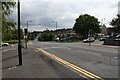
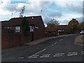
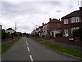
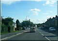
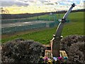
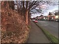
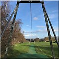
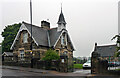
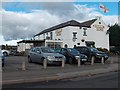
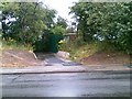
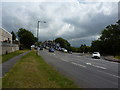
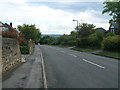
35 photos from this area
Area Information
Key information about the S12 2AS including its size, population, and administrative classification.
- Area Type
- Postcode
- Area Size
- 1.1 hectares
- Population
- 1491
- Population Density
- 3737 people/km²
House Prices in S12 2AS
36
Properties
£85,443
Average Sold Price
£23,500
Lowest Price
£135,000
Highest Price
Showing 36 properties
| Address | Type | Beds | Baths | Last Sale Price | Last Sale Date | |
|---|---|---|---|---|---|---|
| 318 Mansfield Road, Sheffield, S12 2AS | Terraced | 3 | 1 | £121,000 | Dec 2024 | |
| 326 Mansfield Road, Sheffield, S12 2AS | Terraced | 2 | 1 | £124,000 | Oct 2024 | |
| 290 Mansfield Road, Sheffield, S12 2AS | Terraced | 2 | - | £125,000 | Mar 2024 | |
| 310 Mansfield Road, Sheffield, S12 2AS | Terraced | 3 | 1 | £115,000 | Mar 2022 | |
| 278 Mansfield Road, Sheffield, S12 2AS | house | 3 | - | £105,000 | Feb 2021 | |
| 294 Mansfield Road, Sheffield, S12 2AS | house | - | - | £88,000 | Feb 2021 | |
| 332 Mansfield Road, Sheffield, S12 2AS | Terraced | 3 | 1 | £103,000 | Jun 2020 | |
| 272 Mansfield Road, Sheffield, S12 2AS | Retail | 3 | - | £125,000 | Jul 2016 | |
| 334 Mansfield Road, Sheffield, S12 2AS | Terraced | 2 | 1 | £80,000 | May 2016 | |
| 288 Mansfield Road, Sheffield, S12 2AS | Detached | 3 | 1 | £135,000 | Dec 2015 |
Page 1 of 4
Energy Efficiency in S12 2AS
Amenities
Schools
| Rank | School | Type | Entry gender | Ages |
|---|
Explore more schools in this area
Go to Schools tabDemographics
Household Size
Two person
most common
Accommodation Type
Houses
most common
Tenure
66
majority
Ethnic Group
White
most common
Religion
N/A
most common
Household Composition
N/A
most common
Age
47
median
Adults (30-64 years)
most common
Household Deprivation
N/A
with no deprivation
NS-SEC
22
in Lower managerial occupations
Explore more demographic insights in this area
Go to Demographics tabPlanning
Planning Constraints
- Flood RiskPremium
- Ramsar Wetland SitesPremium
- Area of Outstanding Natural BeautyPremium
- Protected Nature ReservePremium
- Protected WoodlandPremium