Area Overview for S11 8FT
Photos of S11 8FT
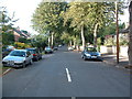
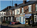
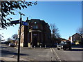
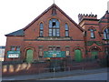
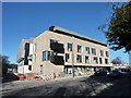
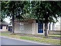
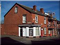
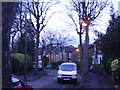
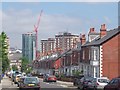
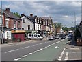
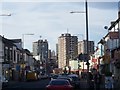
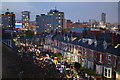
100 photos from this area
Area Information
Key information about the S11 8FT including its size, population, and administrative classification.
- Area Type
- Postcode
- Area Size
- 2.8 hectares
- Population
- 1610
- Population Density
- 5939 people/km²
House Prices in S11 8FT
35
Properties
£336,904
Average Sold Price
£295,000
Lowest Price
£410,000
Highest Price
Showing 35 properties
| Address | Type | Beds | Baths | Last Sale Price | Last Sale Date | |
|---|---|---|---|---|---|---|
| 332 Cemetery Road, Sheffield, S11 8FT | house | 3 | - | £365,000 | Mar 2022 | |
| 342 Cemetery Road, Sheffield, S11 8FT | house | 3 | 2 | £410,000 | Apr 2021 | |
| 334 Cemetery Road, Sheffield, S11 8FT | Terraced | 4 | 2 | £385,000 | Feb 2018 | |
| 344 Cemetery Road, Sheffield, S11 8FT | house | 3 | - | £295,000 | Aug 2012 | |
| 336 Cemetery Road, Sheffield, S11 8FT | house | 3 | - | £313,230 | Nov 2011 | |
| 340 Cemetery Road, Sheffield, S11 8FT | house | 3 | - | £295,000 | Mar 2011 | |
| 338 Cemetery Road, Sheffield, S11 8FT | house | 3 | 2 | £318,000 | Nov 2010 | |
| 328 Cemetery Road, Sheffield, S11 8FT | Semi-detached | 4 | 2 | £314,000 | Jun 2010 | |
| 330 Cemetery Road, Sheffield, S11 8FT | Semi-detached | 3 | 2 | - | - | |
| Apartment 1, Sharrow Point, 326 Cemetery Road, Sheffield, S11 8FT | Flat | 2 | 2 | - | - |
Page 1 of 4
Energy Efficiency in S11 8FT
Amenities
Schools
| Rank | School | Type | Entry gender | Ages |
|---|
Explore more schools in this area
Go to Schools tabDemographics
Household Size
Family (3-5 people)
most common
Accommodation Type
Houses
most common
Tenure
32
majority
Ethnic Group
White
most common
Religion
N/A
most common
Household Composition
N/A
most common
Age
22
median
Young Adults (15-29 years)
most common
Household Deprivation
N/A
with no deprivation
NS-SEC
28
in Lower managerial occupations
Explore more demographic insights in this area
Go to Demographics tabPlanning
Planning Constraints
- Flood RiskPremium
- Ramsar Wetland SitesPremium
- Area of Outstanding Natural BeautyPremium
- Protected Nature ReservePremium
- Protected WoodlandPremium