Area Overview for S11 8FQ
Photos of S11 8FQ
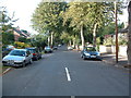
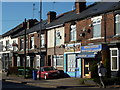
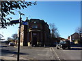
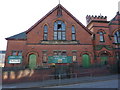
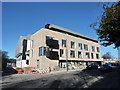
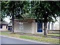
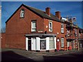
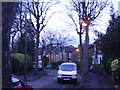
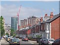
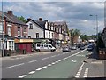
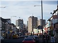
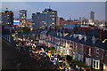
100 photos from this area
Area Information
Key information about the S11 8FQ including its size, population, and administrative classification.
- Area Type
- Postcode
- Area Size
- 9107 m²
- Population
- 1579
- Population Density
- 14882 people/km²
House Prices in S11 8FQ
50
Properties
£205,433
Average Sold Price
£46,250
Lowest Price
£350,000
Highest Price
Showing 50 properties
| Address | Type | Beds | Baths | Last Sale Price | Last Sale Date | |
|---|---|---|---|---|---|---|
| 217 Cemetery Road, Sheffield, S11 8FQ | Terraced | 4 | 1 | £228,000 | Mar 2024 | |
| 225 Cemetery Road, Sheffield, S11 8FQ | Flat | - | - | £140,000 | Jul 2023 | |
| 225A Cemetery Road, Sheffield, S11 8FQ | Flat | - | - | £90,000 | Jan 2023 | |
| 177 Cemetery Road, Sheffield, S11 8FQ | Terraced | 3 | 1 | £260,000 | Dec 2022 | |
| 199 Cemetery Road, Sheffield, S11 8FQ | house | - | - | £309,000 | Apr 2022 | |
| 189 Cemetery Road, Sheffield, S11 8FQ | house | 5 | 2 | £225,000 | Jan 2022 | |
| 191 Cemetery Road, Sheffield, S11 8FQ | Terraced | 3 | 1 | £225,000 | Aug 2021 | |
| 215 Cemetery Road, Sheffield, S11 8FQ | house | - | - | £350,000 | Feb 2021 | |
| 193 Cemetery Road, Sheffield, S11 8FQ | Terraced | 3 | 1 | £241,500 | Apr 2020 | |
| 179 Cemetery Road, Sheffield, S11 8FQ | Terraced | 3 | 1 | £230,000 | Feb 2020 |
Page 1 of 5
Energy Efficiency in S11 8FQ
Amenities
Schools
| Rank | School | Type | Entry gender | Ages |
|---|
Explore more schools in this area
Go to Schools tabDemographics
Household Size
One person
most common
Accommodation Type
Flats
most common
Tenure
12
majority
Ethnic Group
White
most common
Religion
N/A
most common
Household Composition
N/A
most common
Age
22
median
Young Adults (15-29 years)
most common
Household Deprivation
N/A
with no deprivation
NS-SEC
36
in Lower managerial occupations
Explore more demographic insights in this area
Go to Demographics tabPlanning
Planning Constraints
- Flood RiskPremium
- Ramsar Wetland SitesPremium
- Area of Outstanding Natural BeautyPremium
- Protected Nature ReservePremium
- Protected WoodlandPremium