Area Overview for S11 8DS
Photos of S11 8DS
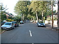
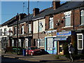
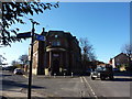
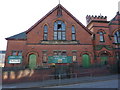
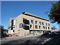
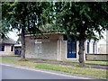
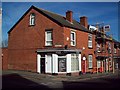
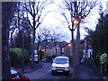
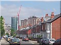
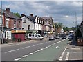
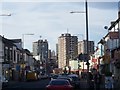
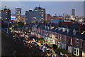
100 photos from this area
Area Information
Key information about the S11 8DS including its size, population, and administrative classification.
- Area Type
- Postcode
- Area Size
- 6749 m²
- Population
- 1528
- Population Density
- 14031 people/km²
House Prices in S11 8DS
88
Properties
£53,483
Average Sold Price
£40,000
Lowest Price
£60,500
Highest Price
Showing 88 properties
| Address | Type | Beds | Baths | Last Sale Price | Last Sale Date | |
|---|---|---|---|---|---|---|
| 411 Washington Road, Sharrow, Sheffield, S11 8DS | Flat | - | - | £59,950 | May 2023 | |
| 387 Washington Road, Sharrow, Sheffield, S11 8DS | Flat | 1 | 1 | £60,500 | Sep 2021 | |
| 439 Washington Road, Sharrow, Sheffield, S11 8DS | Maisonette | 1 | - | £40,000 | Aug 2014 | |
| 369 Washington Road, Sharrow, Sheffield, S11 8DS | Maisonette | 3 | - | - | - | |
| 423 Washington Road, Sharrow, Sheffield, S11 8DS | Flat | - | - | - | - | |
| 363 Washington Road, Sharrow, Sheffield, S11 8DS | Maisonette | - | - | - | - | |
| 433 Washington Road, Sharrow, Sheffield, S11 8DS | Maisonette | - | - | - | - | |
| 381 Washington Road, Sharrow, Sheffield, S11 8DS | Maisonette | - | - | - | - | |
| 445 Washington Road, Sharrow, Sheffield, S11 8DS | Flat | - | - | - | - | |
| 371 Washington Road, Sharrow, Sheffield, S11 8DS | Maisonette | - | - | - | - |
Page 1 of 9
Energy Efficiency in S11 8DS
Amenities
Schools
| Rank | School | Type | Entry gender | Ages |
|---|
Explore more schools in this area
Go to Schools tabDemographics
Household Size
One person
most common
Accommodation Type
Houses
most common
Tenure
29
majority
Ethnic Group
White
most common
Religion
N/A
most common
Household Composition
N/A
most common
Age
47
median
Adults (30-64 years)
most common
Household Deprivation
N/A
with no deprivation
NS-SEC
21
in Lower managerial occupations
Explore more demographic insights in this area
Go to Demographics tabPlanning
Planning Constraints
- Flood RiskPremium
- Ramsar Wetland SitesPremium
- Area of Outstanding Natural BeautyPremium
- Protected Nature ReservePremium
- Protected WoodlandPremium