Area Overview for S11 8DB
Photos of S11 8DB
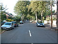
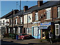
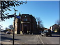
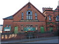
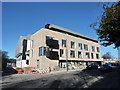
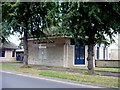
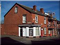
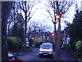
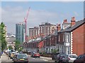
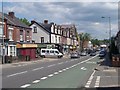
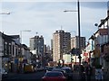
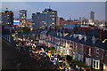
100 photos from this area
Area Information
Key information about the S11 8DB including its size, population, and administrative classification.
- Area Type
- Postcode
- Area Size
- 3849 m²
- Population
- 2854
- Population Density
- 15838 people/km²
House Prices in S11 8DB
32
Properties
£111,555
Average Sold Price
£35,000
Lowest Price
£210,000
Highest Price
Showing 32 properties
| Address | Type | Beds | Baths | Last Sale Price | Last Sale Date | |
|---|---|---|---|---|---|---|
| 24 Hobart Street, Sheffield, S11 8DB | Terraced | 3 | 1 | £210,000 | Nov 2025 | |
| 12 Hobart Street, Sheffield, S11 8DB | Terraced | 3 | 1 | £165,500 | Sep 2024 | |
| 10 Hobart Street, Sheffield, S11 8DB | Terraced | 3 | 1 | £105,000 | May 2023 | |
| 16 Hobart Street, Sheffield, S11 8DB | house | - | - | £146,000 | Dec 2020 | |
| 9 Hobart Street, Sheffield, S11 8DB | Terraced | 3 | 1 | £128,500 | Aug 2019 | |
| 34 Hobart Street, Sheffield, S11 8DB | Terraced | 3 | 1 | £140,250 | Aug 2019 | |
| 20 Hobart Street, Sheffield, S11 8DB | Terraced | 3 | - | £148,000 | Apr 2016 | |
| 40 Hobart Street, Sheffield, S11 8DB | house | - | - | £130,000 | Jul 2015 | |
| 29 Hobart Street, Sheffield, S11 8DB | house | - | - | £110,000 | Oct 2013 | |
| 18 Hobart Street, Sheffield, S11 8DB | house | 3 | - | £112,500 | Apr 2011 |
Page 1 of 4
Energy Efficiency in S11 8DB
Amenities
Schools
| Rank | School | Type | Entry gender | Ages |
|---|
Explore more schools in this area
Go to Schools tabDemographics
Household Size
One person
most common
Accommodation Type
Houses
most common
Tenure
35
majority
Ethnic Group
White
most common
Religion
N/A
most common
Household Composition
N/A
most common
Age
22
median
Young Adults (15-29 years)
most common
Household Deprivation
N/A
with no deprivation
NS-SEC
13
in Lower managerial occupations
Explore more demographic insights in this area
Go to Demographics tabPlanning
Planning Constraints
- Flood RiskPremium
- Ramsar Wetland SitesPremium
- Area of Outstanding Natural BeautyPremium
- Protected Nature ReservePremium
- Protected WoodlandPremium