Area Overview for S11 7BN
Photos of S11 7BN
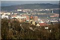
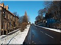
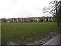
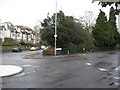
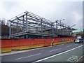
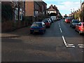
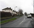
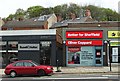
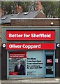
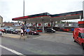
100 photos from this area
Area Information
Key information about the S11 7BN including its size, population, and administrative classification.
- Area Type
- Postcode
- Area Size
- 4511 m²
- Population
- 1647
- Population Density
- 10646 people/km²
House Prices in S11 7BN
39
Properties
£167,105
Average Sold Price
£23,000
Lowest Price
£326,000
Highest Price
Showing 39 properties
| Address | Type | Beds | Baths | Last Sale Price | Last Sale Date | |
|---|---|---|---|---|---|---|
| 56 Greystones Road, Sheffield, S11 7BN | Terraced | 4 | 2 | £326,000 | Mar 2025 | |
| 10 Greystones Road, Sheffield, S11 7BN | Terraced | 3 | 1 | £279,320 | Jul 2024 | |
| 34 Greystones Road, Sheffield, S11 7BN | Flat | 1 | 1 | £101,500 | May 2024 | |
| 20 Greystones Road, Sheffield, S11 7BN | Terraced | 3 | 2 | £325,000 | Aug 2023 | |
| 32 Greystones Road, Sheffield, S11 7BN | Flat | - | - | £150,000 | May 2023 | |
| 58 Greystones Road, Sheffield, S11 7BN | Terraced | 3 | 1 | £320,000 | Sep 2021 | |
| 12 Greystones Road, Sheffield, S11 7BN | Terraced | 3 | 2 | £240,000 | Dec 2020 | |
| 28 Greystones Road, Sheffield, S11 7BN | Flat | 1 | - | £130,000 | Dec 2020 | |
| 38 Greystones Road, Sheffield, S11 7BN | Flat | - | - | £155,000 | Dec 2019 | |
| 70 Greystones Road, Sheffield, S11 7BN | Terraced | 3 | 1 | £207,646 | Jun 2018 |
Page 1 of 4
Energy Efficiency in S11 7BN
Amenities
Schools
| Rank | School | Type | Entry gender | Ages |
|---|
Explore more schools in this area
Go to Schools tabDemographics
Household Size
Family (3-5 people)
most common
Accommodation Type
Houses
most common
Tenure
67
majority
Ethnic Group
White
most common
Religion
N/A
most common
Household Composition
N/A
most common
Age
47
median
Adults (30-64 years)
most common
Household Deprivation
N/A
with no deprivation
NS-SEC
54
in Lower managerial occupations
Explore more demographic insights in this area
Go to Demographics tabPlanning
Planning Constraints
- Flood RiskPremium
- Ramsar Wetland SitesPremium
- Area of Outstanding Natural BeautyPremium
- Protected Nature ReservePremium
- Protected WoodlandPremium