Area Overview for S10 5BS
Photos of S10 5BS
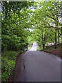
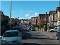
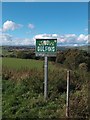
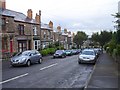
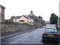
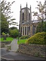
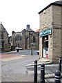
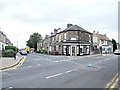
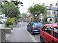
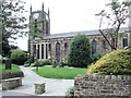
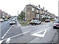
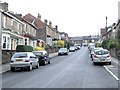
95 photos from this area
Area Information
Key information about the S10 5BS including its size, population, and administrative classification.
- Area Type
- Postcode
- Area Size
- 9870 m²
- Population
- 1301
- Population Density
- 4618 people/km²
House Prices in S10 5BS
22
Properties
£349,589
Average Sold Price
£87,000
Lowest Price
£660,000
Highest Price
Showing 22 properties
| Address | Type | Beds | Baths | Last Sale Price | Last Sale Date | |
|---|---|---|---|---|---|---|
| 35 Hallamgate Road, Sheffield, S10 5BS | house | 3 | - | £372,035 | Jul 2023 | |
| Provosts Lodge, 22 Hallamgate Road, Sheffield, S10 5BS | house | - | - | £660,000 | Oct 2012 | |
| 41 Hallamgate Road, Sheffield, S10 5BS | Semi-detached | 3 | 1 | £196,000 | Jun 2011 | |
| 26 Hallamgate Road, Sheffield, S10 5BS | house | - | - | £550,000 | Sep 2010 | |
| 39 Hallamgate Road, Sheffield, S10 5BS | house | - | - | £232,500 | Jul 2010 | |
| 31 Hallamgate Road, Sheffield, S10 5BS | Semi-detached | - | - | £87,000 | Apr 1998 | |
| 32 Hallamgate Road, Sheffield, S10 5BS | Detached | - | - | - | - | |
| 33 Hallamgate Road, Sheffield, S10 5BS | Semi-detached | - | - | - | - | |
| 29 Hallamgate Road, Sheffield, S10 5BS | Detached | - | - | - | - | |
| 34 Hallamgate Road, Sheffield, S10 5BS | Detached | - | - | - | - |
Page 1 of 3
Energy Efficiency in S10 5BS
Amenities
Schools
| Rank | School | Type | Entry gender | Ages |
|---|
Explore more schools in this area
Go to Schools tabDemographics
Household Size
One person
most common
Accommodation Type
Flats
most common
Tenure
54
majority
Ethnic Group
White
most common
Religion
N/A
most common
Household Composition
N/A
most common
Age
47
median
Adults (30-64 years)
most common
Household Deprivation
N/A
with no deprivation
NS-SEC
48
in Lower managerial occupations
Explore more demographic insights in this area
Go to Demographics tabPlanning
Planning Constraints
- Flood RiskPremium
- Ramsar Wetland SitesPremium
- Area of Outstanding Natural BeautyPremium
- Protected Nature ReservePremium
- Protected WoodlandPremium