Area Overview for S10 4LB
Photos of S10 4LB
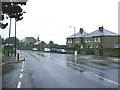
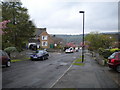
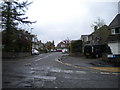
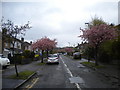
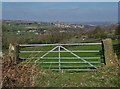
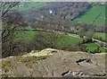
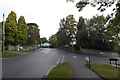
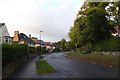
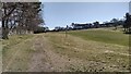
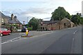
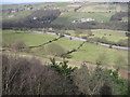
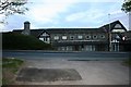
31 photos from this area
Area Information
Key information about the S10 4LB including its size, population, and administrative classification.
- Area Type
- Postcode
- Area Size
- 2.7 hectares
- Population
- 1520
- Population Density
- 1327 people/km²
House Prices in S10 4LB
17
Properties
£363,700
Average Sold Price
£79,950
Lowest Price
£730,000
Highest Price
Showing 17 properties
| Address | Type | Beds | Baths | Last Sale Price | Last Sale Date | |
|---|---|---|---|---|---|---|
| 47 Redmires Road, Sheffield, S10 4LB | house | - | - | £650,000 | Mar 2020 | |
| 51 Redmires Road, Sheffield, S10 4LB | Detached | 4 | 4 | £730,000 | Dec 2019 | |
| 91 Redmires Road, Sheffield, S10 4LB | Detached | 4 | 1 | £280,000 | Sep 2018 | |
| 49 Redmires Road, Sheffield, S10 4LB | house | - | - | £671,000 | Jun 2018 | |
| 27 Redmires Road, Sheffield, S10 4LB | house | - | - | £290,000 | May 2017 | |
| 39 Redmires Road, Sheffield, S10 4LB | house | - | - | £375,000 | Sep 2016 | |
| 33 Redmires Road, Sheffield, S10 4LB | Semi-detached | 3 | 2 | £104,350 | Dec 1999 | |
| 25 Redmires Road, Sheffield, S10 4LB | Semi-detached | 3 | 2 | £93,000 | Sep 1999 | |
| 43 Redmires Road, Sheffield, S10 4LB | house | - | - | £79,950 | Feb 1995 | |
| 35 Redmires Road, Sheffield, S10 4LB | Semi-detached | - | - | - | - |
Page 1 of 2
Energy Efficiency in S10 4LB
Amenities
Schools
| Rank | School | Type | Entry gender | Ages |
|---|
Explore more schools in this area
Go to Schools tabDemographics
Household Size
One person
most common
Accommodation Type
Flats
most common
Tenure
58
majority
Ethnic Group
White
most common
Religion
N/A
most common
Household Composition
N/A
most common
Age
47
median
Adults (30-64 years)
most common
Household Deprivation
N/A
with no deprivation
NS-SEC
44
in Lower managerial occupations
Explore more demographic insights in this area
Go to Demographics tabPlanning
Planning Constraints
- Flood RiskPremium
- Ramsar Wetland SitesPremium
- Area of Outstanding Natural BeautyPremium
- Protected Nature ReservePremium
- Protected WoodlandPremium