Area Overview for S10 4GR
Photos of S10 4GR
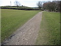
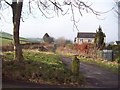
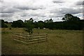
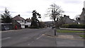
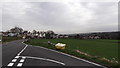
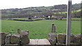
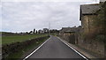
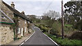
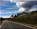
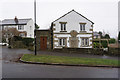
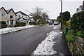
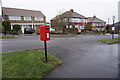
45 photos from this area
Area Information
Key information about the S10 4GR including its size, population, and administrative classification.
- Area Type
- Postcode
- Area Size
- 1.8 hectares
- Population
- 1445
- Population Density
- 2915 people/km²
House Prices in S10 4GR
18
Properties
£326,995
Average Sold Price
£65,000
Lowest Price
£750,000
Highest Price
Showing 18 properties
| Address | Type | Beds | Baths | Last Sale Price | Last Sale Date | |
|---|---|---|---|---|---|---|
| 64 School Green Lane, Sheffield, S10 4GR | Semi-detached | 4 | 2 | £660,000 | Nov 2023 | |
| 86 School Green Lane, Sheffield, S10 4GR | Detached | 4 | 2 | £750,000 | Sep 2022 | |
| 66 School Green Lane, Sheffield, S10 4GR | Semi-detached | 4 | - | £385,000 | Nov 2013 | |
| 84 School Green Lane, Sheffield, S10 4GR | Bungalow | 5 | 4 | £225,000 | Mar 2013 | |
| 62 School Green Lane, Sheffield, S10 4GR | house | 3 | 1 | £360,000 | Jan 2007 | |
| 60 School Green Lane, Sheffield, S10 4GR | Detached | - | - | £440,000 | Mar 2006 | |
| 58 School Green Lane, Sheffield, S10 4GR | Semi-detached | - | - | £161,000 | Sep 2001 | |
| 78 School Green Lane, Sheffield, S10 4GR | Semi-detached | - | - | £139,950 | May 2000 | |
| 72 School Green Lane, Sheffield, S10 4GR | Terraced | - | - | £84,000 | Nov 1997 | |
| 70 School Green Lane, Sheffield, S10 4GR | Terraced | - | - | £65,000 | Jun 1996 |
Page 1 of 2
Energy Efficiency in S10 4GR
Amenities
Schools
| Rank | School | Type | Entry gender | Ages |
|---|
Explore more schools in this area
Go to Schools tabDemographics
Household Size
Two person
most common
Accommodation Type
Houses
most common
Tenure
93
majority
Ethnic Group
White
most common
Religion
N/A
most common
Household Composition
N/A
most common
Age
47
median
Adults (30-64 years)
most common
Household Deprivation
N/A
with no deprivation
NS-SEC
63
in Lower managerial occupations
Explore more demographic insights in this area
Go to Demographics tabPlanning
Planning Constraints
- Flood RiskPremium
- Ramsar Wetland SitesPremium
- Area of Outstanding Natural BeautyPremium
- Protected Nature ReservePremium
- Protected WoodlandPremium