Area Overview for S10 2BS
Photos of S10 2BS
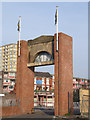
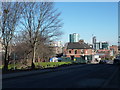
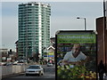
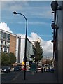
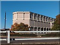
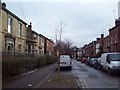
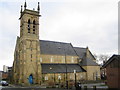
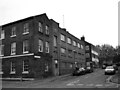
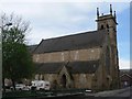
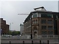
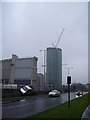
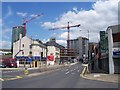
100 photos from this area
Area Information
Key information about the S10 2BS including its size, population, and administrative classification.
- Area Type
- Postcode
- Area Size
- 4530 m²
- Population
- 1508
- Population Density
- 10087 people/km²
House Prices in S10 2BS
23
Properties
£122,027
Average Sold Price
£58,301
Lowest Price
£305,000
Highest Price
Showing 23 properties
| Address | Type | Beds | Baths | Last Sale Price | Last Sale Date | |
|---|---|---|---|---|---|---|
| Managers Accommodation, The Hanover, 2 Clarke Street, Sheffield, S10 2BS | Flat | - | - | £202,000 | May 2022 | |
| 24 Clarke Street, Sheffield, S10 2BS | Terraced | 4 | 1 | £305,000 | Oct 2020 | |
| 8 Clarke Street, Sheffield, S10 2BS | Detached | 11 | 4 | £215,000 | Oct 2017 | |
| 9 Clarke Street, Sheffield, S10 2BS | Detached | 4 | 1 | £130,000 | Aug 2005 | |
| 12 Clarke Street, Sheffield, S10 2BS | house | - | - | £85,000 | Oct 2002 | |
| 14 Clarke Street, Sheffield, S10 2BS | house | 4 | 2 | £63,000 | Jul 2001 | |
| 16 Clarke Street, Sheffield, S10 2BS | house | 4 | 1 | £68,000 | Jul 2001 | |
| 18 Clarke Street, Sheffield, S10 2BS | house | - | - | £79,000 | Apr 2001 | |
| 26 Clarke Street, Sheffield, S10 2BS | Detached | 6 | 2 | £78,000 | Jan 2001 | |
| 11 Clarke Street, Sheffield, S10 2BS | house | - | - | £58,301 | Dec 2000 |
Page 1 of 3
Energy Efficiency in S10 2BS
Amenities
Schools
| Rank | School | Type | Entry gender | Ages |
|---|
Explore more schools in this area
Go to Schools tabDemographics
Household Size
One person
most common
Accommodation Type
Houses
most common
Tenure
16
majority
Ethnic Group
White
most common
Religion
N/A
most common
Household Composition
N/A
most common
Age
22
median
Young Adults (15-29 years)
most common
Household Deprivation
N/A
with no deprivation
NS-SEC
15
in Lower managerial occupations
Explore more demographic insights in this area
Go to Demographics tabPlanning
Planning Constraints
- Flood RiskPremium
- Ramsar Wetland SitesPremium
- Area of Outstanding Natural BeautyPremium
- Protected Nature ReservePremium
- Protected WoodlandPremium