Area Overview for S10 1SA
Photos of S10 1SA
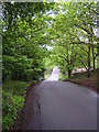
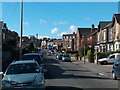
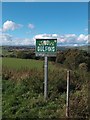
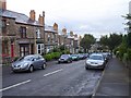
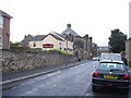
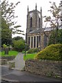
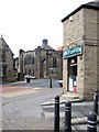
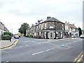
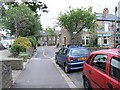
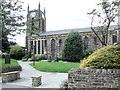
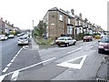
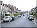
95 photos from this area
Area Information
Key information about the S10 1SA including its size, population, and administrative classification.
- Area Type
- Postcode
- Area Size
- 6399 m²
- Population
- 1504
- Population Density
- 8250 people/km²
House Prices in S10 1SA
43
Properties
£181,734
Average Sold Price
£46,000
Lowest Price
£405,000
Highest Price
Showing 43 properties
| Address | Type | Beds | Baths | Last Sale Price | Last Sale Date | |
|---|---|---|---|---|---|---|
| 9 Bole Hill Lane, Sheffield, S10 1SA | Terraced | 2 | 1 | £192,500 | Dec 2024 | |
| 29 Bole Hill Lane, Sheffield, S10 1SA | house | - | - | £405,000 | Jul 2023 | |
| 85 Bole Hill Lane, Sheffield, S10 1SA | Terraced | 3 | 1 | £295,100 | Nov 2022 | |
| 45 Bole Hill Lane, Sheffield, S10 1SA | Retail | 3 | 1 | £282,500 | Oct 2022 | |
| 15 Bole Hill Lane, Sheffield, S10 1SA | Terraced | 3 | 1 | £235,000 | Jul 2022 | |
| 19 Bole Hill Lane, Sheffield, S10 1SA | Terraced | 2 | 1 | £214,000 | Apr 2022 | |
| 21 Bole Hill Lane, Sheffield, S10 1SA | Terraced | 3 | 2 | £250,000 | Feb 2022 | |
| 75 Bole Hill Lane, Sheffield, S10 1SA | house | 3 | 1 | £185,000 | Sep 2021 | |
| 25 Bole Hill Lane, Sheffield, S10 1SA | house | - | - | £233,300 | Jul 2021 | |
| 23 Bole Hill Lane, Sheffield, S10 1SA | Terraced | 2 | 1 | £191,000 | Oct 2020 |
Page 1 of 5
Energy Efficiency in S10 1SA
Amenities
Schools
| Rank | School | Type | Entry gender | Ages |
|---|
Explore more schools in this area
Go to Schools tabDemographics
Household Size
Two person
most common
Accommodation Type
Houses
most common
Tenure
66
majority
Ethnic Group
White
most common
Religion
N/A
most common
Household Composition
N/A
most common
Age
47
median
Adults (30-64 years)
most common
Household Deprivation
N/A
with no deprivation
NS-SEC
48
in Lower managerial occupations
Explore more demographic insights in this area
Go to Demographics tabPlanning
Planning Constraints
- Flood RiskPremium
- Ramsar Wetland SitesPremium
- Area of Outstanding Natural BeautyPremium
- Protected Nature ReservePremium
- Protected WoodlandPremium