Area Overview for S1 4ST
Photos of S1 4ST
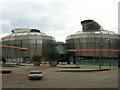
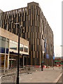
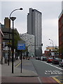
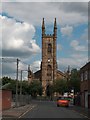

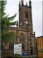
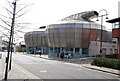

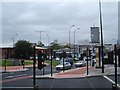


100 photos from this area
Area Information
Key information about the S1 4ST including its size, population, and administrative classification.
- Area Type
- Postcode
- Area Size
- 5036 m²
- Population
- 2219
- Population Density
- 8052 people/km²
House Prices in S1 4ST
24
Properties
£101,319
Average Sold Price
£995
Lowest Price
£157,000
Highest Price
Showing 24 properties
| Address | Type | Beds | Baths | Last Sale Price | Last Sale Date | |
|---|---|---|---|---|---|---|
| 244 Shoreham Street, Sheffield, S1 4ST | house | 4 | 1 | £130,000 | Nov 2023 | |
| 278 Shoreham Street, Sheffield, S1 4ST | Terraced | 4 | 1 | £995 | Oct 2021 | |
| 280 Shoreham Street, Sheffield, S1 4ST | Terraced | 4 | 1 | £138,000 | Sep 2017 | |
| 270 Shoreham Street, Sheffield, S1 4ST | Terraced | 5 | 2 | £130,000 | Aug 2017 | |
| 272 Shoreham Street, Sheffield, S1 4ST | Terraced | 3 | 1 | £127,000 | Dec 2016 | |
| 284 Shoreham Street, Sheffield, S1 4ST | house | 3 | 1 | £95,000 | Feb 2015 | |
| 218 Shoreham Street, Sheffield, S1 4ST | Terraced | 4 | 1 | £100,000 | Dec 2014 | |
| 230 Shoreham Street, Sheffield, S1 4ST | house | 5 | 3 | £157,000 | Oct 2014 | |
| 220 Shoreham Street, Sheffield, S1 4ST | house | 1 | 1 | £125,000 | Oct 2013 | |
| 268 Shoreham Street, Sheffield, S1 4ST | Terraced | 4 | 1 | £109,000 | Jul 2012 |
Page 1 of 3
Energy Efficiency in S1 4ST
Amenities
Schools
| Rank | School | Type | Entry gender | Ages |
|---|
Explore more schools in this area
Go to Schools tabDemographics
Household Size
Family (3-5 people)
most common
Accommodation Type
Houses
most common
Tenure
16
majority
Ethnic Group
White
most common
Religion
N/A
most common
Household Composition
N/A
most common
Age
22
median
Young Adults (15-29 years)
most common
Household Deprivation
N/A
with no deprivation
NS-SEC
12
in Lower managerial occupations
Explore more demographic insights in this area
Go to Demographics tabPlanning
Planning Constraints
- Flood RiskPremium
- Ramsar Wetland SitesPremium
- Area of Outstanding Natural BeautyPremium
- Protected Nature ReservePremium
- Protected WoodlandPremium