Area Overview for OL14 8RS
Photos of OL14 8RS

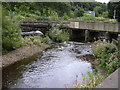
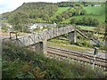
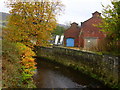
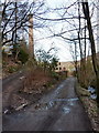
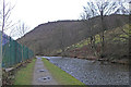
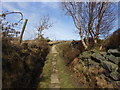
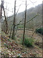
84 photos from this area
Area Information
Key information about the OL14 8RS including its size, population, and administrative classification.
- Area Type
- Postcode
- Area Size
- 32.6 hectares
- Population
- 1574
- Population Density
- 69 people/km²
House Prices in OL14 8RS
13
Properties
£319,016
Average Sold Price
£171,081
Lowest Price
£560,000
Highest Price
Showing 13 properties
| Address | Type | Beds | Baths | Last Sale Price | Last Sale Date | |
|---|---|---|---|---|---|---|
| Lane House Farm Cottage, Eastwood Lane, Todmorden, OL14 8RS | Retail | 3 | 2 | £400,000 | Apr 2022 | |
| Roundfield Farm, Eastwood Lane, Todmorden, OL14 8RS | Detached | 4 | 1 | £560,000 | Jan 2017 | |
| 2, Ivy Cottages, Eastwood Lane, Todmorden, OL14 8RS | house | - | - | £242,000 | Jul 2009 | |
| Hipperholme Cottage, Eastwood Lane, Todmorden, OL14 8RS | house | - | - | £222,000 | Apr 2005 | |
| Whiteley Royd Farm, Eastwood Lane, Todmorden, OL14 8RS | Semi-detached | 5 | - | £171,081 | Aug 2001 | |
| Lane House Farm, Eastwood Lane, Todmorden, OL14 8RS | house | 3 | - | - | - | |
| Valley View Farm, Hipperholme Farm, Eastwood Lane, Todmorden, OL14 8RS | Semi-detached | - | - | - | - | |
| Hipperholme Farm House, Eastwood Lane, Todmorden, OL14 8RS | Semi-detached | - | - | - | - | |
| Whiteley Royd Barn, Eastwood Lane, Todmorden, OL14 8RS | house | - | - | - | - | |
| The Apartment Valley View Farm, Hipperholme Farm, Eastwood Lane, Todmorden, OL14 8RS | Flat | - | - | - | - |
Page 1 of 2
Energy Efficiency in OL14 8RS
Amenities
Schools
| Rank | School | Type | Entry gender | Ages |
|---|
Explore more schools in this area
Go to Schools tabDemographics
Household Size
Two person
most common
Accommodation Type
Houses
most common
Tenure
88
majority
Ethnic Group
White
most common
Religion
N/A
most common
Household Composition
N/A
most common
Age
47
median
Adults (30-64 years)
most common
Household Deprivation
N/A
with no deprivation
NS-SEC
49
in Lower managerial occupations
Explore more demographic insights in this area
Go to Demographics tabPlanning
Planning Constraints
- Flood RiskPremium
- Ramsar Wetland SitesPremium
- Area of Outstanding Natural BeautyPremium
- Protected Nature ReservePremium
- Protected WoodlandPremium