Area Overview for OL14 8BS
Photos of OL14 8BS
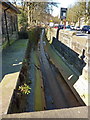
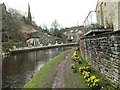
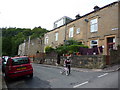
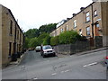
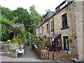
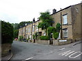
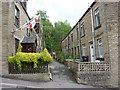
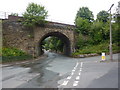
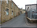
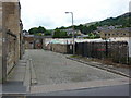
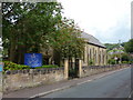
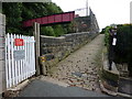
100 photos from this area
Area Information
Key information about the OL14 8BS including its size, population, and administrative classification.
- Area Type
- Postcode
- Area Size
- 774 m²
- Population
- 1359
- Population Density
- 2672 people/km²
House Prices in OL14 8BS
7
Properties
£86,067
Average Sold Price
£27,400
Lowest Price
£160,000
Highest Price
Showing 7 properties
| Address | Type | Beds | Baths | Last Sale Price | Last Sale Date | |
|---|---|---|---|---|---|---|
| 8 Meadow Street, Todmorden, OL14 8BS | Terraced | 2 | 1 | £108,000 | Aug 2024 | |
| 5 Meadow Street, Todmorden, OL14 8BS | Terraced | 3 | 1 | £160,000 | May 2024 | |
| 4 Meadow Street, Todmorden, OL14 8BS | Terraced | 1 | 1 | £75,000 | Apr 2018 | |
| 7 Meadow Street, Todmorden, OL14 8BS | Terraced | 2 | 1 | £52,500 | Oct 2015 | |
| 6 Meadow Street, Todmorden, OL14 8BS | house | - | - | £93,500 | May 2008 | |
| 2 Meadow Street, Todmorden, OL14 8BS | Terraced | 3 | - | £27,400 | Aug 1997 | |
| 3 Meadow Street, Todmorden, OL14 8BS | Terraced | 2 | - | - | - |
Energy Efficiency in OL14 8BS
Amenities
Schools
| Rank | School | Type | Entry gender | Ages |
|---|
Explore more schools in this area
Go to Schools tabDemographics
Household Size
Two person
most common
Accommodation Type
Houses
most common
Tenure
72
majority
Ethnic Group
White
most common
Religion
N/A
most common
Household Composition
N/A
most common
Age
47
median
Adults (30-64 years)
most common
Household Deprivation
N/A
with no deprivation
NS-SEC
35
in Lower managerial occupations
Explore more demographic insights in this area
Go to Demographics tabPlanning
Planning Constraints
- Flood RiskPremium
- Ramsar Wetland SitesPremium
- Area of Outstanding Natural BeautyPremium
- Protected Nature ReservePremium
- Protected WoodlandPremium