Area Overview for OL14 7AP
Photos of OL14 7AP
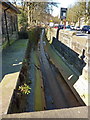
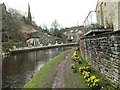
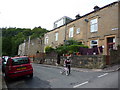
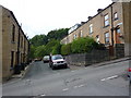
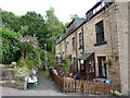
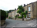
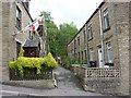
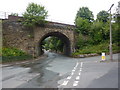
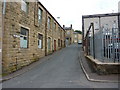
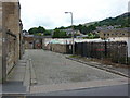
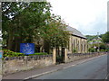
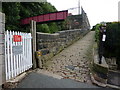
100 photos from this area
Area Information
Key information about the OL14 7AP including its size, population, and administrative classification.
- Area Type
- Postcode
- Area Size
- 5.8 hectares
- Population
- 1636
- Population Density
- 2882 people/km²
House Prices in OL14 7AP
16
Properties
£203,129
Average Sold Price
£51,000
Lowest Price
£387,500
Highest Price
Showing 16 properties
| Address | Type | Beds | Baths | Last Sale Price | Last Sale Date | |
|---|---|---|---|---|---|---|
| Trenython, Sunnyside, Todmorden, OL14 7AP | Semi-detached | 3 | 2 | £347,000 | Dec 2023 | |
| Sylvawood, Sunnyside, Todmorden, OL14 7AP | Retail | 3 | 1 | £236,300 | Sep 2022 | |
| Dunluce, Sunnyside, Todmorden, OL14 7AP | Semi-detached | 4 | 1 | £229,000 | Oct 2019 | |
| Woodfield, Sunnyside, Todmorden, OL14 7AP | Semi-detached | 4 | 2 | £236,000 | Jun 2019 | |
| Berwyn, Sunnyside, Todmorden, OL14 7AP | Semi-detached | 3 | 1 | £140,000 | Mar 2018 | |
| Beechwood, Sunnyside, Todmorden, OL14 7AP | house | - | - | £387,500 | Oct 2017 | |
| Highleigh, Sunnyside, Todmorden, OL14 7AP | house | - | - | £107,750 | Jun 2016 | |
| Stanlea, Sunnyside, Todmorden, OL14 7AP | Semi-detached | 3 | 1 | £177,000 | May 2016 | |
| Woodleigh, Sunnyside, Todmorden, OL14 7AP | house | - | - | £186,000 | Oct 2004 | |
| Penrhyn, Sunnyside, Todmorden, OL14 7AP | Semi-detached | - | - | £210,000 | Aug 2004 |
Page 1 of 2
Energy Efficiency in OL14 7AP
Amenities
Schools
| Rank | School | Type | Entry gender | Ages |
|---|
Explore more schools in this area
Go to Schools tabDemographics
Household Size
One person
most common
Accommodation Type
Houses
most common
Tenure
52
majority
Ethnic Group
White
most common
Religion
N/A
most common
Household Composition
N/A
most common
Age
47
median
Adults (30-64 years)
most common
Household Deprivation
N/A
with no deprivation
NS-SEC
32
in Lower managerial occupations
Explore more demographic insights in this area
Go to Demographics tabPlanning
Planning Constraints
- Flood RiskPremium
- Ramsar Wetland SitesPremium
- Area of Outstanding Natural BeautyPremium
- Protected Nature ReservePremium
- Protected WoodlandPremium