Area Overview for LS9 0JT
Photos of LS9 0JT
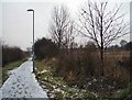
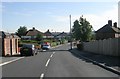
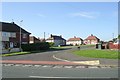
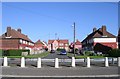
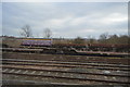
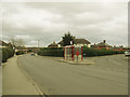
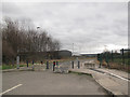
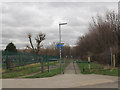
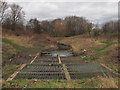
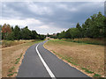
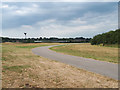
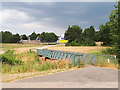
51 photos from this area
Area Information
Key information about the LS9 0JT including its size, population, and administrative classification.
- Area Type
- Postcode
- Area Size
- 3.8 hectares
- Population
- 1567
- Population Density
- 492 people/km²
House Prices in LS9 0JT
24
Properties
£109,368
Average Sold Price
£50,000
Lowest Price
£180,000
Highest Price
Showing 24 properties
| Address | Type | Beds | Baths | Last Sale Price | Last Sale Date | |
|---|---|---|---|---|---|---|
| 644 Halton Moor Road, Halton, Leeds, LS9 0JT | house | 3 | - | £180,000 | Oct 2025 | |
| 628 Halton Moor Road, Halton, Leeds, LS9 0JT | Semi-detached | 4 | 1 | £160,000 | Dec 2024 | |
| 608 Halton Moor Road, Halton, Leeds, LS9 0JT | house | 3 | 1 | £125,000 | Jan 2024 | |
| 610 Halton Moor Road, Halton, Leeds, LS9 0JT | Semi-detached | 3 | - | £105,000 | Mar 2023 | |
| 636 Halton Moor Road, Halton, Leeds, LS9 0JT | house | 4 | - | £58,000 | Feb 2012 | |
| 616 Halton Moor Road, Halton, Leeds, LS9 0JT | Semi-detached | - | - | £106,950 | Jan 2007 | |
| 624 Halton Moor Road, Halton, Leeds, LS9 0JT | Semi-detached | 4 | 1 | £89,995 | Mar 2006 | |
| 606 Halton Moor Road, Halton, Leeds, LS9 0JT | Semi-detached | - | - | £50,000 | Sep 2003 | |
| 600 Halton Moor Road, Halton, Leeds, LS9 0JT | Semi-detached | 3 | - | - | - | |
| 614 Halton Moor Road, Halton, Leeds, LS9 0JT | Semi-detached | - | - | - | - |
Page 1 of 3
Energy Efficiency in LS9 0JT
Amenities
Schools
| Rank | School | Type | Entry gender | Ages |
|---|
Explore more schools in this area
Go to Schools tabDemographics
Household Size
Family (3-5 people)
most common
Accommodation Type
Houses
most common
Tenure
42
majority
Ethnic Group
White
most common
Religion
N/A
most common
Household Composition
N/A
most common
Age
47
median
Adults (30-64 years)
most common
Household Deprivation
N/A
with no deprivation
NS-SEC
15
in Lower managerial occupations
Explore more demographic insights in this area
Go to Demographics tabPlanning
Planning Constraints
- Flood RiskPremium
- Ramsar Wetland SitesPremium
- Area of Outstanding Natural BeautyPremium
- Protected Nature ReservePremium
- Protected WoodlandPremium