Area Overview for LS8 2HA
Photos of LS8 2HA
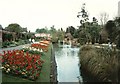
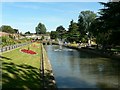
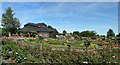
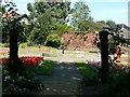
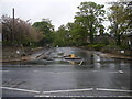
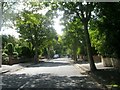
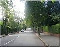
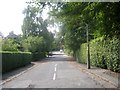
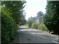
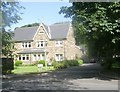
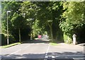
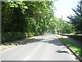
100 photos from this area
Area Information
Key information about the LS8 2HA including its size, population, and administrative classification.
- Area Type
- Postcode
- Area Size
- 7865 m²
- Population
- 1376
- Population Density
- 5688 people/km²
House Prices in LS8 2HA
17
Properties
£265,225
Average Sold Price
£55,000
Lowest Price
£573,210
Highest Price
Showing 17 properties
| Address | Type | Beds | Baths | Last Sale Price | Last Sale Date | |
|---|---|---|---|---|---|---|
| 29 West Park Road, Roundhay, Leeds, LS8 2HA | Terraced | 3 | 2 | £320,000 | Mar 2025 | |
| 45 West Park Road, Roundhay, Leeds, LS8 2HA | Retail | 3 | 2 | £395,000 | Oct 2022 | |
| 11 West Park Road, Roundhay, Leeds, LS8 2HA | Retail | 4 | 3 | £573,210 | Jul 2022 | |
| 27A West Park Road, Roundhay, Leeds, LS8 2HA | Detached | 4 | 2 | £260,000 | Sep 2021 | |
| 39 West Park Road, Roundhay, Leeds, LS8 2HA | house | - | - | £471,000 | Dec 2020 | |
| 31 West Park Road, Roundhay, Leeds, LS8 2HA | Detached | 3 | 2 | £352,500 | Nov 2020 | |
| 35 West Park Road, Roundhay, Leeds, LS8 2HA | Semi-detached | 4 | - | £299,950 | Sep 2013 | |
| 27 West Park Road, Roundhay, Leeds, LS8 2HA | Terraced | 4 | - | £170,000 | Nov 2010 | |
| 25A West Park Road, Roundhay, Leeds, LS8 2HA | house | 3 | 1 | £151,500 | Jan 2006 | |
| 43 West Park Road, Roundhay, Leeds, LS8 2HA | Semi-detached | - | - | £169,000 | May 2003 |
Page 1 of 2
Energy Efficiency in LS8 2HA
Amenities
Schools
| Rank | School | Type | Entry gender | Ages |
|---|
Explore more schools in this area
Go to Schools tabDemographics
Household Size
One person
most common
Accommodation Type
Houses
most common
Tenure
63
majority
Ethnic Group
White
most common
Religion
N/A
most common
Household Composition
N/A
most common
Age
47
median
Adults (30-64 years)
most common
Household Deprivation
N/A
with no deprivation
NS-SEC
57
in Lower managerial occupations
Explore more demographic insights in this area
Go to Demographics tabPlanning
Planning Constraints
- Flood RiskPremium
- Ramsar Wetland SitesPremium
- Area of Outstanding Natural BeautyPremium
- Protected Nature ReservePremium
- Protected WoodlandPremium