Area Overview for LS8 1QQ
Photos of LS8 1QQ
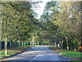
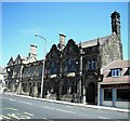
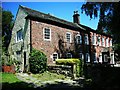
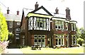
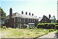
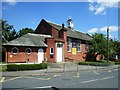
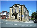
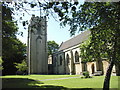
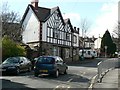
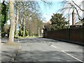
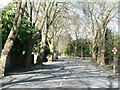
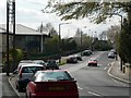
100 photos from this area
Area Information
Key information about the LS8 1QQ including its size, population, and administrative classification.
- Area Type
- Postcode
- Area Size
- 4.8 hectares
- Population
- 1564
- Population Density
- 4604 people/km²
House Prices in LS8 1QQ
45
Properties
£111,136
Average Sold Price
£31,500
Lowest Price
£185,000
Highest Price
Showing 45 properties
| Address | Type | Beds | Baths | Last Sale Price | Last Sale Date | |
|---|---|---|---|---|---|---|
| 117 Lincombe Drive, Gledhow, Leeds, LS8 1QQ | house | 3 | - | £155,000 | May 2022 | |
| 174 Lincombe Drive, Gledhow, Leeds, LS8 1QQ | Flat | - | - | £70,500 | Aug 2020 | |
| 160 Lincombe Drive, Gledhow, Leeds, LS8 1QQ | Semi-detached | 3 | 1 | £185,000 | Jul 2018 | |
| 105 Lincombe Drive, Gledhow, Leeds, LS8 1QQ | house | - | - | £132,500 | Aug 2015 | |
| 148 Lincombe Drive, Gledhow, Leeds, LS8 1QQ | Semi-detached | 3 | - | £147,000 | Nov 2014 | |
| 111 Lincombe Drive, Gledhow, Leeds, LS8 1QQ | house | 3 | - | £120,000 | Jul 2011 | |
| 156 Lincombe Drive, Gledhow, Leeds, LS8 1QQ | house | 3 | - | £117,000 | Apr 2011 | |
| 158 Lincombe Drive, Gledhow, Leeds, LS8 1QQ | house | - | - | £98,000 | Mar 2011 | |
| 164 Lincombe Drive, Gledhow, Leeds, LS8 1QQ | Semi-detached | - | - | £127,995 | Mar 2007 | |
| 194 Lincombe Drive, Gledhow, Leeds, LS8 1QQ | Flat | - | - | £31,500 | Feb 2000 |
Page 1 of 5
Energy Efficiency in LS8 1QQ
Amenities
Schools
| Rank | School | Type | Entry gender | Ages |
|---|
Explore more schools in this area
Go to Schools tabDemographics
Household Size
One person
most common
Accommodation Type
Houses
most common
Tenure
38
majority
Ethnic Group
White
most common
Religion
N/A
most common
Household Composition
N/A
most common
Age
47
median
Adults (30-64 years)
most common
Household Deprivation
N/A
with no deprivation
NS-SEC
29
in Lower managerial occupations
Explore more demographic insights in this area
Go to Demographics tabPlanning
Planning Constraints
- Flood RiskPremium
- Ramsar Wetland SitesPremium
- Area of Outstanding Natural BeautyPremium
- Protected Nature ReservePremium
- Protected WoodlandPremium