Area Overview for LS7 4QR
Photos of LS7 4QR
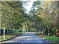
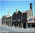
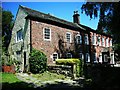
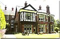
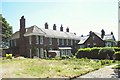
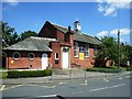
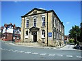
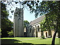
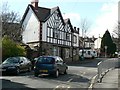
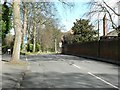
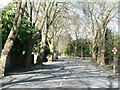
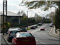
100 photos from this area
Area Information
Key information about the LS7 4QR including its size, population, and administrative classification.
- Area Type
- Postcode
- Area Size
- 1952 m²
- Population
- 1714
- Population Density
- 4594 people/km²
House Prices in LS7 4QR
19
Properties
£213,133
Average Sold Price
£70,000
Lowest Price
£335,000
Highest Price
Showing 19 properties
| Address | Type | Beds | Baths | Last Sale Price | Last Sale Date | |
|---|---|---|---|---|---|---|
| 17 Pasture Terrace, Chapel Allerton, Leeds, LS7 4QR | Terraced | 3 | 1 | £256,500 | Sep 2025 | |
| 4 Pasture Terrace, Chapel Allerton, Leeds, LS7 4QR | house | 2 | 1 | £250,000 | Jul 2025 | |
| 1 Pasture Terrace, Chapel Allerton, Leeds, LS7 4QR | Terraced | 2 | 1 | £245,000 | Feb 2025 | |
| 9 Pasture Terrace, Chapel Allerton, Leeds, LS7 4QR | Terraced | 2 | 1 | £261,000 | Sep 2024 | |
| 8 Pasture Terrace, Chapel Allerton, Leeds, LS7 4QR | Terraced | 3 | 1 | £335,000 | Jun 2024 | |
| 6 Pasture Terrace, Chapel Allerton, Leeds, LS7 4QR | house | 2 | 1 | £300,000 | Jun 2022 | |
| 11 Pasture Terrace, Chapel Allerton, Leeds, LS7 4QR | Detached | 2 | 1 | £240,000 | Jun 2021 | |
| 14 Pasture Terrace, Chapel Allerton, Leeds, LS7 4QR | Terraced | 2 | - | £257,500 | Dec 2020 | |
| 10 Pasture Terrace, Chapel Allerton, Leeds, LS7 4QR | Terraced | 3 | 1 | £207,000 | Jun 2017 | |
| 7 Pasture Terrace, Chapel Allerton, Leeds, LS7 4QR | Terraced | 3 | 1 | £210,000 | May 2017 |
Page 1 of 2
Energy Efficiency in LS7 4QR
Amenities
Schools
| Rank | School | Type | Entry gender | Ages |
|---|
Explore more schools in this area
Go to Schools tabDemographics
Household Size
One person
most common
Accommodation Type
Houses
most common
Tenure
62
majority
Ethnic Group
White
most common
Religion
N/A
most common
Household Composition
N/A
most common
Age
47
median
Adults (30-64 years)
most common
Household Deprivation
N/A
with no deprivation
NS-SEC
61
in Lower managerial occupations
Explore more demographic insights in this area
Go to Demographics tabPlanning
Planning Constraints
- Flood RiskPremium
- Ramsar Wetland SitesPremium
- Area of Outstanding Natural BeautyPremium
- Protected Nature ReservePremium
- Protected WoodlandPremium