Area Overview for LS7 2HU
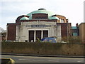
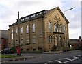
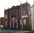
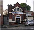
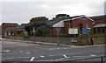
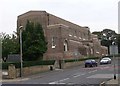
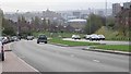
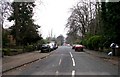
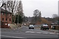
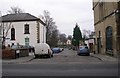
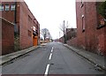
Photos of LS7 2HU

Area Information
LS7 2HU is a small, tightly knit residential postcode in England, home to 2,056 residents. This area is characterised by its modest scale, offering a quiet alternative to larger urban centres. The community is predominantly composed of adults aged 30–64, with a median age of 47, suggesting a stable, mature demographic. While the area is compact, it provides access to essential services and transport links. The presence of multiple rail stations, including Burley Park and Leeds Railway Stations, ensures connectivity to nearby cities, while proximity to Leeds Bradford Airport enhances travel options. Despite its size, LS7 2HU is not isolated; it balances residential tranquillity with practical accessibility. The housing stock consists mainly of houses, reflecting a preference for traditional family-oriented living. However, with only 28% home ownership, the area leans more towards rental properties. Living here means navigating a community where convenience meets simplicity, though buyers should consider the limited housing supply and the need for standard security measures.
- Area Type
- Postcode
- Area Size
- Not available
- Population
- 2056
- Population Density
- 3731 people/km²
The property market in LS7 2HU is defined by a low home ownership rate of 28%, indicating that the majority of properties are rented rather than owned. This suggests a rental-focused market, which may appeal to those seeking flexibility over long-term investment. The accommodation type is predominantly houses, which is unusual for areas with high rental demand, as flats are more common in such contexts. This mix may reflect a blend of older, family-oriented homes and newer developments. The small population and limited housing stock mean that the market is likely constrained, with limited scope for expansion. Buyers should consider the area’s size and the potential for competition in the rental market. For those prioritising ownership, the low home ownership percentage may signal opportunities, though the small scale of the area means that property choices are limited to a few distinct options.
House Prices in LS7 2HU
No properties found in this postcode.
Energy Efficiency in LS7 2HU
Daily life in LS7 2HU is supported by a range of nearby amenities. Retail options include major supermarkets such as Morrisons Daily, Tesco Blenheim, and Lidl Chapel, ensuring easy access to groceries and everyday essentials. The area’s rail network, with stations like Burley Park and Leeds, provides direct links to cultural and employment hubs, while proximity to Leeds Bradford Airport enhances travel flexibility. Although the data does not specify parks or leisure facilities, the presence of multiple rail stations suggests a connection to larger urban amenities. The availability of major retailers and transport links contributes to a convenient lifestyle, balancing local convenience with regional accessibility. For residents, this means a mix of self-contained living and the ability to engage with broader opportunities beyond the immediate postcode.
Amenities
Schools
| Rank | School | Type | Entry gender | Ages |
|---|
Explore more schools in this area
Go to Schools tabDemographics
The population of LS7 2HU is 2,056, with a median age of 47. The majority of residents fall within the 30–64 age range, indicating a community of established professionals and families. Home ownership is relatively low at 28%, suggesting a higher proportion of rental properties. The predominant accommodation type is houses, which aligns with the area’s traditional residential character. The predominant ethnic group is White, comprising the vast majority of the population. This demographic profile shapes a community that is stable but not highly diverse. The age distribution implies a balance between middle-aged residents and younger families, though the absence of specific data on younger age groups means the area may lack the vibrancy of more youthful neighbourhoods. The low home ownership rate could affect local investment and property value trends, while the age profile suggests a focus on long-term residency over transient populations.
Household Size
Accommodation Type
Tenure
Ethnic Group
Religion
Household Composition
Age
Household Deprivation
NS-SEC
Explore more demographic insights in this area
Go to Demographics tabPlanning
Planning Constraints
- Flood RiskPremium
- Ramsar Wetland SitesPremium
- Area of Outstanding Natural BeautyPremium
- Protected Nature ReservePremium
- Protected WoodlandPremium