Area Overview for LS4 2NW
Photos of LS4 2NW
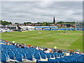
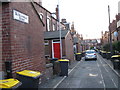
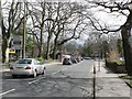
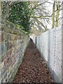
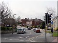
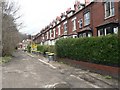
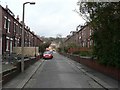
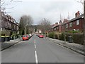
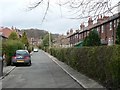
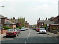
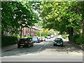
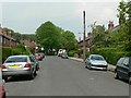
100 photos from this area
Area Information
Key information about the LS4 2NW including its size, population, and administrative classification.
- Area Type
- Postcode
- Area Size
- 2796 m²
- Population
- 1521
- Population Density
- 13261 people/km²
House Prices in LS4 2NW
10
Properties
£158,722
Average Sold Price
£75,000
Lowest Price
£265,000
Highest Price
Showing 10 properties
| Address | Type | Beds | Baths | Last Sale Price | Last Sale Date | |
|---|---|---|---|---|---|---|
| 1 Lumley Terrace, Burley, Leeds, LS4 2NW | Terraced | 4 | 1 | £265,000 | Apr 2024 | |
| 6 Lumley Terrace, Burley, Leeds, LS4 2NW | house | 2 | - | £200,000 | Nov 2023 | |
| 8 Lumley Terrace, Burley, Leeds, LS4 2NW | house | 2 | 2 | £175,000 | Sep 2021 | |
| 3 Lumley Terrace, Burley, Leeds, LS4 2NW | house | 2 | - | £178,000 | Nov 2020 | |
| 2 Lumley Terrace, Burley, Leeds, LS4 2NW | Terraced | 2 | 1 | £145,000 | Jun 2020 | |
| 9 Lumley Terrace, Burley, Leeds, LS4 2NW | house | - | - | £141,000 | Nov 2019 | |
| 5 Lumley Terrace, Burley, Leeds, LS4 2NW | house | 2 | - | £155,500 | Dec 2017 | |
| 10 Lumley Terrace, Burley, Leeds, LS4 2NW | Terraced | - | - | £94,000 | Nov 2002 | |
| 4 Lumley Terrace, Burley, Leeds, LS4 2NW | Terraced | 2 | 1 | £75,000 | Aug 2002 | |
| 7 Lumley Terrace, Burley, Leeds, LS4 2NW | house | 2 | 1 | - | - |
Energy Efficiency in LS4 2NW
Amenities
Schools
| Rank | School | Type | Entry gender | Ages |
|---|
Explore more schools in this area
Go to Schools tabDemographics
Household Size
Family (3-5 people)
most common
Accommodation Type
Houses
most common
Tenure
22
majority
Ethnic Group
White
most common
Religion
N/A
most common
Household Composition
N/A
most common
Age
22
median
Young Adults (15-29 years)
most common
Household Deprivation
N/A
with no deprivation
NS-SEC
27
in Lower managerial occupations
Explore more demographic insights in this area
Go to Demographics tabPlanning
Planning Constraints
- Flood RiskPremium
- Ramsar Wetland SitesPremium
- Area of Outstanding Natural BeautyPremium
- Protected Nature ReservePremium
- Protected WoodlandPremium