Area Overview for LS4 2LG
Photos of LS4 2LG
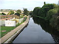
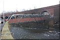
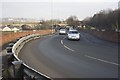
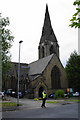
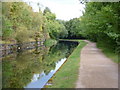
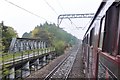
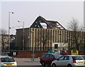
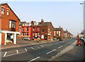
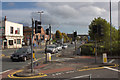
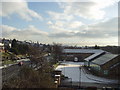
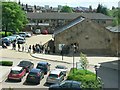
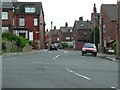
100 photos from this area
Area Information
Key information about the LS4 2LG including its size, population, and administrative classification.
- Area Type
- Postcode
- Area Size
- 3504 m²
- Population
- 1812
- Population Density
- 6964 people/km²
House Prices in LS4 2LG
12
Properties
£94,611
Average Sold Price
£34,000
Lowest Price
£168,000
Highest Price
Showing 12 properties
| Address | Type | Beds | Baths | Last Sale Price | Last Sale Date | |
|---|---|---|---|---|---|---|
| 19 Park View Road, Burley, Leeds, LS4 2LG | Terraced | 3 | 1 | £160,000 | Dec 2019 | |
| 21 Park View Road, Burley, Leeds, LS4 2LG | Terraced | 3 | - | £145,000 | Mar 2018 | |
| 11 Park View Road, Burley, Leeds, LS4 2LG | house | 3 | 3 | £128,000 | Aug 2013 | |
| 9 Park View Road, Burley, Leeds, LS4 2LG | house | - | - | £168,000 | Dec 2007 | |
| 27 Park View Road, Burley, Leeds, LS4 2LG | Semi-detached | 3 | 1 | £72,000 | Jul 2000 | |
| 17 Park View Road, Burley, Leeds, LS4 2LG | Terraced | - | - | £49,000 | Dec 1997 | |
| 25 Park View Road, Burley, Leeds, LS4 2LG | Terraced | 4 | 1 | £35,500 | Jun 1996 | |
| 23 Park View Road, Burley, Leeds, LS4 2LG | Terraced | - | - | £34,000 | Jun 1996 | |
| 7 Park View Road, Burley, Leeds, LS4 2LG | Semi-detached | 3 | 1 | £60,000 | Mar 1995 | |
| Pavilion, Burley Park, Cardigan Lane, Burley, Leeds, LS4 2LG | Leisure | - | - | - | - |
Page 1 of 2
Energy Efficiency in LS4 2LG
Amenities
Schools
| Rank | School | Type | Entry gender | Ages |
|---|
Explore more schools in this area
Go to Schools tabDemographics
Household Size
One person
most common
Accommodation Type
Houses
most common
Tenure
18
majority
Ethnic Group
White
most common
Religion
N/A
most common
Household Composition
N/A
most common
Age
22
median
Young Adults (15-29 years)
most common
Household Deprivation
N/A
with no deprivation
NS-SEC
17
in Lower managerial occupations
Explore more demographic insights in this area
Go to Demographics tabPlanning
Planning Constraints
- Flood RiskPremium
- Ramsar Wetland SitesPremium
- Area of Outstanding Natural BeautyPremium
- Protected Nature ReservePremium
- Protected WoodlandPremium