Area Overview for LS29 9BG
Photos of LS29 9BG
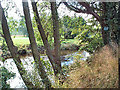
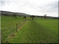
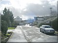
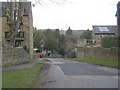
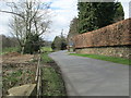
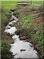
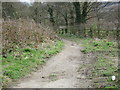
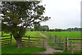
60 photos from this area
Area Information
Key information about the LS29 9BG including its size, population, and administrative classification.
- Area Type
- Postcode
- Area Size
- 5.8 hectares
- Population
- 1541
- Population Density
- 525 people/km²
House Prices in LS29 9BG
15
Properties
£376,333
Average Sold Price
£112,000
Lowest Price
£1,200,000
Highest Price
Showing 15 properties
| Address | Type | Beds | Baths | Last Sale Price | Last Sale Date | |
|---|---|---|---|---|---|---|
| River View Nursing Home, Stourton Road, Ilkley, LS29 9BG | Retirement | - | - | £1,200,000 | Apr 2019 | |
| 15 Stourton Road, Ilkley, LS29 9BG | Terraced | 3 | - | £285,000 | Aug 2015 | |
| 19 Stourton Road, Ilkley, LS29 9BG | house | 3 | 2 | £270,000 | Dec 2011 | |
| 21 Stourton Road, Ilkley, LS29 9BG | Terraced | - | - | £276,000 | Dec 2005 | |
| Stourton Ford Nursing Home, Stourton Road, Ilkley, LS29 9BG | Retirement | - | - | £115,000 | Jul 2000 | |
| 17 Stourton Road, Ilkley, LS29 9BG | Terraced | - | - | £112,000 | Aug 1998 | |
| 5, Stourton Mews, Stourton Road, Ilkley, LS29 9BG | Flat | 2 | 1 | - | - | |
| Tennis 76M From Ilkley Lawn Tennis & Squash Club, Stourton Road 35M From Unnamed Road, Nesfield Road, Ilkley, LS29 9BG | Leisure | - | - | - | - | |
| Tennis 127M From Ilkley Lawn Tennis & Squash Club, Stourton Road 29M From Unnamed Road, Nesfield Road, Ilkley, LS29 9BG | Leisure | - | - | - | - | |
| 9, Stourton Mews, Stourton Road, Ilkley, LS29 9BG | Flat | - | - | - | - |
Page 1 of 2
Energy Efficiency in LS29 9BG
Amenities
Schools
| Rank | School | Type | Entry gender | Ages |
|---|
Explore more schools in this area
Go to Schools tabDemographics
Household Size
Two person
most common
Accommodation Type
Houses
most common
Tenure
89
majority
Ethnic Group
White
most common
Religion
N/A
most common
Household Composition
N/A
most common
Age
47
median
Adults (30-64 years)
most common
Household Deprivation
N/A
with no deprivation
NS-SEC
56
in Lower managerial occupations
Explore more demographic insights in this area
Go to Demographics tabPlanning
Planning Constraints
- Flood RiskPremium
- Ramsar Wetland SitesPremium
- Area of Outstanding Natural BeautyPremium
- Protected Nature ReservePremium
- Protected WoodlandPremium