Area Overview for LS29 9AQ
Photos of LS29 9AQ
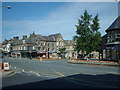
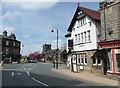
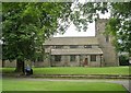
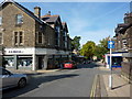
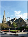
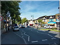
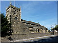

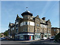
100 photos from this area
Area Information
Key information about the LS29 9AQ including its size, population, and administrative classification.
- Area Type
- Postcode
- Area Size
- 1.2 hectares
- Population
- 1449
- Population Density
- 3251 people/km²
House Prices in LS29 9AQ
17
Properties
£461,944
Average Sold Price
£160,000
Lowest Price
£750,000
Highest Price
Showing 17 properties
| Address | Type | Beds | Baths | Last Sale Price | Last Sale Date | |
|---|---|---|---|---|---|---|
| 30 Westville Road, Ilkley, LS29 9AQ | Semi-detached | 4 | 2 | £750,000 | Jun 2025 | |
| 22 Westville Road, Ilkley, LS29 9AQ | Bungalow | - | - | £515,000 | Aug 2019 | |
| 35 Westville Road, Ilkley, LS29 9AQ | Detached | 5 | - | £595,000 | Jan 2017 | |
| 27 Westville Road, Ilkley, LS29 9AQ | Semi-detached | 5 | - | £660,000 | May 2014 | |
| 21 Westville Road, Ilkley, LS29 9AQ | house | 4 | - | £387,500 | May 2012 | |
| 19 Westville Road, Ilkley, LS29 9AQ | house | - | - | £350,000 | Jan 2009 | |
| 26 Westville Road, Ilkley, LS29 9AQ | Semi-detached | - | - | £320,000 | Jan 2007 | |
| 23 Westville Road, Ilkley, LS29 9AQ | Detached | - | - | £420,000 | Mar 2006 | |
| 32 Westville Road, Ilkley, LS29 9AQ | Semi-detached | - | - | £160,000 | Jul 2002 | |
| 36 Westville Road, Ilkley, LS29 9AQ | Detached | 4 | 2 | - | - |
Page 1 of 2
Energy Efficiency in LS29 9AQ
Amenities
Schools
| Rank | School | Type | Entry gender | Ages |
|---|
Explore more schools in this area
Go to Schools tabDemographics
Household Size
Two person
most common
Accommodation Type
Houses
most common
Tenure
84
majority
Ethnic Group
White
most common
Religion
N/A
most common
Household Composition
N/A
most common
Age
47
median
Adults (30-64 years)
most common
Household Deprivation
N/A
with no deprivation
NS-SEC
57
in Lower managerial occupations
Explore more demographic insights in this area
Go to Demographics tabPlanning
Planning Constraints
- Flood RiskPremium
- Ramsar Wetland SitesPremium
- Area of Outstanding Natural BeautyPremium
- Protected Nature ReservePremium
- Protected WoodlandPremium