Area Overview for LS29 8SQ
Photos of LS29 8SQ
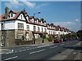
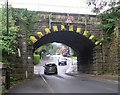
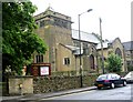
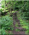
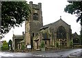
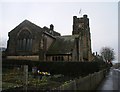

100 photos from this area
Area Information
Key information about the LS29 8SQ including its size, population, and administrative classification.
- Area Type
- Postcode
- Area Size
- 1.4 hectares
- Population
- 1576
- Population Density
- 2191 people/km²
House Prices in LS29 8SQ
15
Properties
£452,618
Average Sold Price
£152,500
Lowest Price
£989,950
Highest Price
Showing 15 properties
| Address | Type | Beds | Baths | Last Sale Price | Last Sale Date | |
|---|---|---|---|---|---|---|
| 4 Wheatley Rise, Ilkley, LS29 8SQ | Detached | 5 | - | £989,950 | Jul 2021 | |
| 5 Wheatley Rise, Ilkley, LS29 8SQ | Detached | 4 | 2 | £514,950 | Jun 2018 | |
| 15 Wheatley Rise, Ilkley, LS29 8SQ | Detached | 5 | - | £470,000 | Dec 2016 | |
| 9 Wheatley Rise, Ilkley, LS29 8SQ | Detached | 4 | - | £537,283 | Jun 2015 | |
| 3 Wheatley Rise, Ilkley, LS29 8SQ | house | - | - | £343,000 | Jun 2013 | |
| 17 Wheatley Rise, Ilkley, LS29 8SQ | house | 5 | - | £450,000 | Oct 2011 | |
| 6 Wheatley Rise, Ilkley, LS29 8SQ | Detached | - | - | £498,500 | Aug 2007 | |
| 19 Wheatley Rise, Ilkley, LS29 8SQ | house | - | - | £363,000 | Nov 2006 | |
| 25 Wheatley Rise, Ilkley, LS29 8SQ | Detached | - | - | £207,000 | Jan 2001 | |
| 7 Wheatley Rise, Ilkley, LS29 8SQ | Detached | - | - | £152,500 | Sep 1999 |
Page 1 of 2
Energy Efficiency in LS29 8SQ
Amenities
Schools
| Rank | School | Type | Entry gender | Ages |
|---|
Explore more schools in this area
Go to Schools tabDemographics
Household Size
Two person
most common
Accommodation Type
Houses
most common
Tenure
91
majority
Ethnic Group
White
most common
Religion
N/A
most common
Household Composition
N/A
most common
Age
47
median
Adults (30-64 years)
most common
Household Deprivation
N/A
with no deprivation
NS-SEC
61
in Lower managerial occupations
Explore more demographic insights in this area
Go to Demographics tabPlanning
Planning Constraints
- Flood RiskPremium
- Ramsar Wetland SitesPremium
- Area of Outstanding Natural BeautyPremium
- Protected Nature ReservePremium
- Protected WoodlandPremium