Area Overview for LS29 8RF
Photos of LS29 8RF
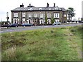
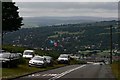
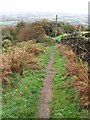
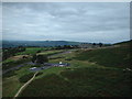
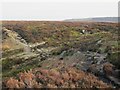
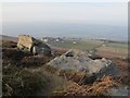
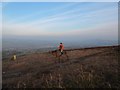
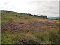
100 photos from this area
Area Information
Key information about the LS29 8RF including its size, population, and administrative classification.
- Area Type
- Postcode
- Area Size
- 1.1 hectares
- Population
- 1576
- Population Density
- 2191 people/km²
House Prices in LS29 8RF
9
Properties
£492,357
Average Sold Price
£170,000
Lowest Price
£727,500
Highest Price
Showing 9 properties
| Address | Type | Beds | Baths | Last Sale Price | Last Sale Date | |
|---|---|---|---|---|---|---|
| 1 Undercliffe Rise, Ilkley, LS29 8RF | Retail | 4 | 2 | £727,500 | Apr 2022 | |
| 2 Undercliffe Rise, Ilkley, LS29 8RF | house | - | - | £560,000 | Oct 2016 | |
| 3 Undercliffe Rise, Ilkley, LS29 8RF | house | - | - | £515,000 | Feb 2016 | |
| 9 Undercliffe Rise, Ilkley, LS29 8RF | Detached | 4 | - | £574,000 | Jan 2014 | |
| 6 Undercliffe Rise, Ilkley, LS29 8RF | Detached | - | - | £575,000 | Sep 2006 | |
| 5 Undercliffe Rise, Ilkley, LS29 8RF | Detached | - | - | £325,000 | Sep 2002 | |
| 4 Undercliffe Rise, Ilkley, LS29 8RF | Detached | - | - | £170,000 | Aug 1996 | |
| 8 Undercliffe Rise, Ilkley, LS29 8RF | Detached | - | - | - | - | |
| 7 Undercliffe Rise, Ilkley, LS29 8RF | Detached | - | - | - | - |
Energy Efficiency in LS29 8RF
Amenities
Schools
| Rank | School | Type | Entry gender | Ages |
|---|
Explore more schools in this area
Go to Schools tabDemographics
Household Size
Two person
most common
Accommodation Type
Houses
most common
Tenure
91
majority
Ethnic Group
White
most common
Religion
N/A
most common
Household Composition
N/A
most common
Age
47
median
Adults (30-64 years)
most common
Household Deprivation
N/A
with no deprivation
NS-SEC
61
in Lower managerial occupations
Explore more demographic insights in this area
Go to Demographics tabPlanning
Planning Constraints
- Flood RiskPremium
- Ramsar Wetland SitesPremium
- Area of Outstanding Natural BeautyPremium
- Protected Nature ReservePremium
- Protected WoodlandPremium