Area Overview for LS29 8LE
Photos of LS29 8LE
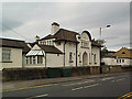
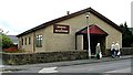
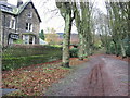
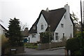


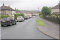
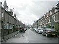
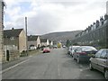
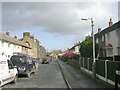
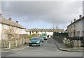
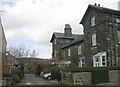
100 photos from this area
Area Information
Key information about the LS29 8LE including its size, population, and administrative classification.
- Area Type
- Postcode
- Area Size
- 8955 m²
- Population
- 1977
- Population Density
- 4760 people/km²
House Prices in LS29 8LE
28
Properties
£166,081
Average Sold Price
£50,500
Lowest Price
£258,001
Highest Price
Showing 28 properties
| Address | Type | Beds | Baths | Last Sale Price | Last Sale Date | |
|---|---|---|---|---|---|---|
| 2 Woodlands, Ilkley, LS29 8LE | house | - | - | £258,001 | Sep 2021 | |
| 6 Woodlands, Ilkley, LS29 8LE | house | - | - | £249,500 | Dec 2016 | |
| 8 Woodlands, Ilkley, LS29 8LE | Semi-detached | 3 | - | £172,000 | Mar 2014 | |
| 18 Woodlands, Ilkley, LS29 8LE | Semi-detached | 4 | 1 | £249,950 | Sep 2013 | |
| 12 Woodlands, Ilkley, LS29 8LE | house | 3 | - | £157,500 | Mar 2012 | |
| 20 Woodlands, Ilkley, LS29 8LE | Semi-detached | - | - | £131,250 | Apr 2004 | |
| 4 Woodlands, Ilkley, LS29 8LE | Semi-detached | - | - | £59,950 | Jul 1999 | |
| 10 Woodlands, Ilkley, LS29 8LE | Semi-detached | - | - | £50,500 | Mar 1998 | |
| 1 Woodlands, Ilkley, LS29 8LE | Semi-detached | 3 | - | - | - | |
| 13 Woodlands, Ilkley, LS29 8LE | Flat | - | - | - | - |
Page 1 of 3
Energy Efficiency in LS29 8LE
Amenities
Schools
| Rank | School | Type | Entry gender | Ages |
|---|
Explore more schools in this area
Go to Schools tabDemographics
Household Size
One person
most common
Accommodation Type
Houses
most common
Tenure
64
majority
Ethnic Group
White
most common
Religion
N/A
most common
Household Composition
N/A
most common
Age
47
median
Adults (30-64 years)
most common
Household Deprivation
N/A
with no deprivation
NS-SEC
34
in Lower managerial occupations
Explore more demographic insights in this area
Go to Demographics tabPlanning
Planning Constraints
- Flood RiskPremium
- Ramsar Wetland SitesPremium
- Area of Outstanding Natural BeautyPremium
- Protected Nature ReservePremium
- Protected WoodlandPremium