Area Overview for LS29 0RF
Photos of LS29 0RF
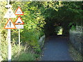
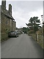
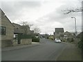
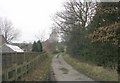
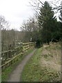
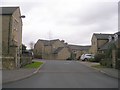
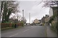
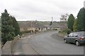
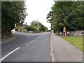
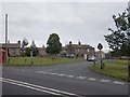
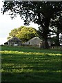
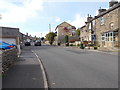
43 photos from this area
Area Information
Key information about the LS29 0RF including its size, population, and administrative classification.
- Area Type
- Postcode
- Area Size
- 58.7 hectares
- Population
- 1348
- Population Density
- 119 people/km²
House Prices in LS29 0RF
13
Properties
£637,956
Average Sold Price
£177,500
Lowest Price
£1,530,000
Highest Price
Showing 13 properties
| Address | Type | Beds | Baths | Last Sale Price | Last Sale Date | |
|---|---|---|---|---|---|---|
| Winebeck House, Bolton Road, Addingham, LS29 0RF | Detached | 5 | 3 | £1,530,000 | Aug 2024 | |
| North Ives, Bolton Road, Addingham, LS29 0RF | house | 4 | - | £565,000 | Apr 2021 | |
| Wine Beck Barn, Bolton Road, Addingham, LS29 0RF | Detached | 3 | - | £576,950 | Mar 2021 | |
| 61 Bolton Road, Addingham, LS29 0RF | Bungalow | 3 | - | £177,500 | Nov 2019 | |
| Winebeck Farm, Bolton Road, Addingham, LS29 0RF | Detached | 3 | 2 | £980,000 | Dec 2017 | |
| Sunfield, Bolton Road, Addingham, LS29 0RF | Bungalow | 3 | 2 | £760,000 | Nov 2017 | |
| Wharfeside, Bolton Road, Addingham, LS29 0RF | Semi-detached | - | - | £324,200 | Oct 2003 | |
| Beckfield House, Bolton Road, Addingham, LS29 0RF | Terraced | 3 | 2 | £190,000 | Oct 1996 | |
| Farfield House, Bolton Road, Addingham, LS29 0RF | house | 5 | 4 | - | - | |
| Springfield Meadows, Bolton Road, Addingham, LS29 0RF | Detached | - | - | - | - |
Page 1 of 2
Energy Efficiency in LS29 0RF
Amenities
Schools
| Rank | School | Type | Entry gender | Ages |
|---|
Explore more schools in this area
Go to Schools tabDemographics
Household Size
Two person
most common
Accommodation Type
Houses
most common
Tenure
83
majority
Ethnic Group
White
most common
Religion
N/A
most common
Household Composition
N/A
most common
Age
47
median
Adults (30-64 years)
most common
Household Deprivation
N/A
with no deprivation
NS-SEC
47
in Lower managerial occupations
Explore more demographic insights in this area
Go to Demographics tabPlanning
Planning Constraints
- Flood RiskPremium
- Ramsar Wetland SitesPremium
- Area of Outstanding Natural BeautyPremium
- Protected Nature ReservePremium
- Protected WoodlandPremium