Area Overview for LS29 0LZ
Photos of LS29 0LZ
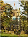
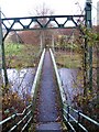
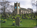
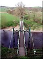
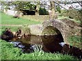
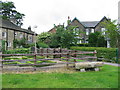
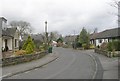
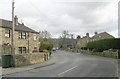
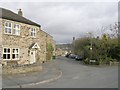
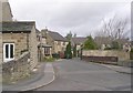
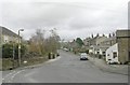
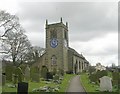
100 photos from this area
Area Information
Key information about the LS29 0LZ including its size, population, and administrative classification.
- Area Type
- Postcode
- Area Size
- 5.4 hectares
- Population
- 1057
- Population Density
- 1182 people/km²
House Prices in LS29 0LZ
23
Properties
£183,300
Average Sold Price
£69,950
Lowest Price
£294,950
Highest Price
Showing 23 properties
| Address | Type | Beds | Baths | Last Sale Price | Last Sale Date | |
|---|---|---|---|---|---|---|
| 133 Main Street, Addingham, LS29 0LZ | Terraced | 2 | 1 | £210,000 | Dec 2024 | |
| 135 Main Street, Addingham, LS29 0LZ | Terraced | 2 | 1 | £235,000 | Dec 2024 | |
| Ham House, 127 Main Street, Addingham, LS29 0LZ | house | - | - | £170,000 | Jul 2018 | |
| 147 Main Street, Addingham, LS29 0LZ | Flat | - | - | £120,000 | Mar 2016 | |
| 123 Main Street, Addingham, LS29 0LZ | house | - | - | £294,950 | Jan 2015 | |
| 143 Main Street, Addingham, LS29 0LZ | Terraced | 2 | - | £290,000 | Jul 2005 | |
| 131 Main Street, Addingham, LS29 0LZ | Terraced | - | - | £69,950 | Mar 2002 | |
| 125 Main Street, Addingham, LS29 0LZ | Semi-detached | 2 | - | £76,500 | Jun 1997 | |
| Former 157B, Main Street, Addingham, LS29 0LZ | undefined | - | - | - | - | |
| Former 157A, Main Street, Addingham, LS29 0LZ | undefined | - | - | - | - |
Page 1 of 3
Energy Efficiency in LS29 0LZ
Amenities
Schools
| Rank | School | Type | Entry gender | Ages |
|---|
Explore more schools in this area
Go to Schools tabDemographics
Household Size
One person
most common
Accommodation Type
Houses
most common
Tenure
70
majority
Ethnic Group
White
most common
Religion
N/A
most common
Household Composition
N/A
most common
Age
47
median
Adults (30-64 years)
most common
Household Deprivation
N/A
with no deprivation
NS-SEC
43
in Lower managerial occupations
Explore more demographic insights in this area
Go to Demographics tabPlanning
Planning Constraints
- Flood RiskPremium
- Ramsar Wetland SitesPremium
- Area of Outstanding Natural BeautyPremium
- Protected Nature ReservePremium
- Protected WoodlandPremium