Area Overview for LS29 0BA
Photos of LS29 0BA
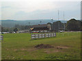
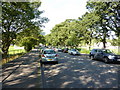
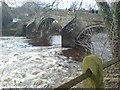
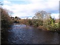
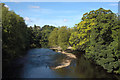
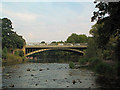
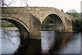
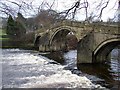
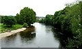
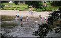
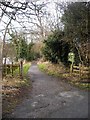
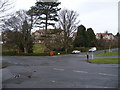
100 photos from this area
Area Information
Key information about the LS29 0BA including its size, population, and administrative classification.
- Area Type
- Postcode
- Area Size
- 10.3 hectares
- Population
- 1541
- Population Density
- 525 people/km²
House Prices in LS29 0BA
24
Properties
£1,093,391
Average Sold Price
£240,000
Lowest Price
£2,250,087
Highest Price
Showing 24 properties
| Address | Type | Beds | Baths | Last Sale Price | Last Sale Date | |
|---|---|---|---|---|---|---|
| 55 Curly Hill, Ilkley, LS29 0BA | Detached | 5 | 3 | £1,380,000 | Oct 2023 | |
| 70 Curly Hill, Ilkley, LS29 0BA | Detached | 4 | 2 | £1,300,000 | Jul 2023 | |
| 56 Curly Hill, Ilkley, LS29 0BA | Retail | 5 | 2 | £888,000 | Nov 2022 | |
| 54 Curly Hill, Ilkley, LS29 0BA | Detached | 5 | 3 | £2,250,087 | Oct 2022 | |
| 76 Curly Hill, Ilkley, LS29 0BA | Retail | 4 | 3 | £1,330,000 | Mar 2022 | |
| 69 Curly Hill, Ilkley, LS29 0BA | house | 4 | - | £1,740,000 | Feb 2022 | |
| Former Site Of, 59 Curly Hill, Ilkley, LS29 0BA | Detached | - | - | £1,750,000 | Mar 2021 | |
| 71 Curly Hill, Ilkley, LS29 0BA | house | 5 | - | £1,100,000 | Jul 2013 | |
| 52 Curly Hill, Ilkley, LS29 0BA | Detached | - | - | £500,000 | Jul 2012 | |
| 83 Curly Hill, Ilkley, LS29 0BA | Detached | - | - | £675,000 | Dec 2007 |
Page 1 of 3
Energy Efficiency in LS29 0BA
Amenities
Schools
| Rank | School | Type | Entry gender | Ages |
|---|
Explore more schools in this area
Go to Schools tabDemographics
Household Size
Two person
most common
Accommodation Type
Houses
most common
Tenure
89
majority
Ethnic Group
White
most common
Religion
N/A
most common
Household Composition
N/A
most common
Age
47
median
Adults (30-64 years)
most common
Household Deprivation
N/A
with no deprivation
NS-SEC
56
in Lower managerial occupations
Explore more demographic insights in this area
Go to Demographics tabPlanning
Planning Constraints
- Flood RiskPremium
- Ramsar Wetland SitesPremium
- Area of Outstanding Natural BeautyPremium
- Protected Nature ReservePremium
- Protected WoodlandPremium