Area Overview for LS28 5TP
Photos of LS28 5TP
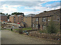
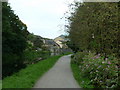
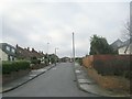
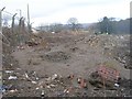
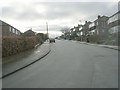
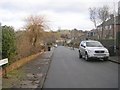

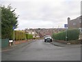
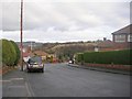
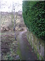
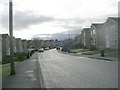
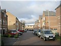
100 photos from this area
Area Information
Key information about the LS28 5TP including its size, population, and administrative classification.
- Area Type
- Postcode
- Area Size
- 2.2 hectares
- Population
- 1648
- Population Density
- 2698 people/km²
House Prices in LS28 5TP
63
Properties
£198,477
Average Sold Price
£25,000
Lowest Price
£425,150
Highest Price
Showing 63 properties
| Address | Type | Beds | Baths | Last Sale Price | Last Sale Date | |
|---|---|---|---|---|---|---|
| 103 Springbank Close, Farsley, Pudsey, LS28 5TP | Semi-detached | 3 | 2 | £331,000 | Sep 2025 | |
| 101 Springbank Close, Farsley, Pudsey, LS28 5TP | Semi-detached | 3 | 1 | £315,000 | Mar 2025 | |
| 71 Springbank Close, Farsley, Pudsey, LS28 5TP | house | 3 | 1 | £392,500 | Dec 2024 | |
| 35 Springbank Close, Farsley, Pudsey, LS28 5TP | Bungalow | 2 | 1 | £290,000 | Oct 2023 | |
| 39 Springbank Close, Farsley, Pudsey, LS28 5TP | Bungalow | 2 | 1 | £295,000 | Feb 2023 | |
| 83 Springbank Close, Farsley, Pudsey, LS28 5TP | Retail | 3 | 1 | £335,250 | Jun 2022 | |
| 77 Springbank Close, Farsley, Pudsey, LS28 5TP | house | - | - | £425,150 | Apr 2022 | |
| 99 Springbank Close, Farsley, Pudsey, LS28 5TP | house | - | - | £365,000 | Nov 2021 | |
| 17 Springbank Close, Farsley, Pudsey, LS28 5TP | Bungalow | - | - | £232,500 | Mar 2021 | |
| 7 Springbank Close, Farsley, Pudsey, LS28 5TP | Bungalow | - | - | £250,000 | Oct 2020 |
Page 1 of 7
Energy Efficiency in LS28 5TP
Amenities
Schools
| Rank | School | Type | Entry gender | Ages |
|---|
Explore more schools in this area
Go to Schools tabDemographics
Household Size
Two person
most common
Accommodation Type
Houses
most common
Tenure
77
majority
Ethnic Group
White
most common
Religion
N/A
most common
Household Composition
N/A
most common
Age
47
median
Adults (30-64 years)
most common
Household Deprivation
N/A
with no deprivation
NS-SEC
41
in Lower managerial occupations
Explore more demographic insights in this area
Go to Demographics tabPlanning
Planning Constraints
- Flood RiskPremium
- Ramsar Wetland SitesPremium
- Area of Outstanding Natural BeautyPremium
- Protected Nature ReservePremium
- Protected WoodlandPremium